Distance to Cadet, Missouri

Calculating Your Route
Just a moment while we process your request...
Location Information
-
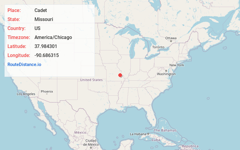
Full AddressCadet, MO 63630
-
Coordinates37.9843006, -90.6863149
-
LocationCadet , Missouri , US
-
TimezoneAmerica/Chicago
-
Current Local Time8:26:51 PM America/ChicagoMonday, June 23, 2025
-
Page Views0
About Cadet
Cadet is an unincorporated community in Union Township in eastern Washington County, Missouri, United States. Cadet is located on Missouri Route 47 between Old Mines to the west and Bonne Terre to the southeast. The village is approximately 6 miles northeast of Potosi.


Nearby Places
Found 10 places within 50 miles

Shibboleth
1.8 mi
2.9 km
Shibboleth, Union Township, MO 63630
Get directions
Happy Hollow
2.4 mi
3.9 km
Happy Hollow, Union Township, MO 63630
Get directions
Tiff
3.0 mi
4.8 km
Tiff, MO 63674
Get directions
Mineral Point
3.4 mi
5.5 km
Mineral Point, MO 63660
Get directions
Mud Town
3.8 mi
6.1 km
Mud Town, Union Township, MO 63630
Get directions
Old Mines
4.4 mi
7.1 km
Old Mines, MO 63630
Get directions
Cannon Mines
4.8 mi
7.7 km
Cannon Mines, MO 63630
Get directions
Racola
5.1 mi
8.2 km
Racola, Union Township, MO 63630
Get directions

Blackwell
5.3 mi
8.5 km
Blackwell, MO 63626
Get directions

Terre Du Lac
6.0 mi
9.7 km
Terre Du Lac, Terre du Lac, MO 63628
Get directions
Location Links
Local Weather
Weather Information
Coming soon!
Location Map
Static map view of Cadet, Missouri
Browse Places by Distance
Places within specific distances from Cadet
Short Distances
Long Distances
Click any distance to see all places within that range from Cadet. Distances shown in miles (1 mile ≈ 1.61 kilometers).