Distance to Cairo, Ohio

Calculating Your Route
Just a moment while we process your request...
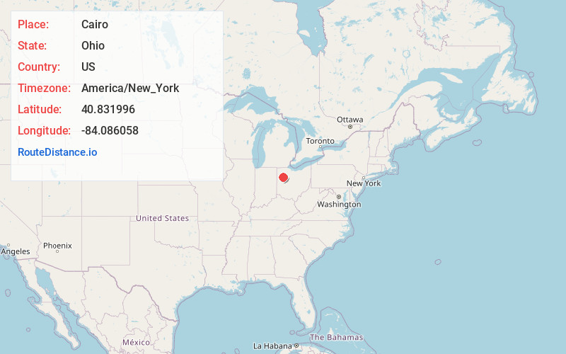
Location Information
-
Full AddressCairo, OH
-
Coordinates40.8319958, -84.0860576
-
LocationCairo , Ohio , US
-
TimezoneAmerica/New_York
-
Current Local Time2:26:44 PM America/New_YorkTuesday, July 1, 2025
-
Page Views0
About Cairo
Cairo is a village in Allen County, Ohio, United States. As of the 2020 census it had a population of 517. It is included in the Lima Metropolitan Statistical Area.

Nearby Places
Found 10 places within 50 miles

Columbus Grove
6.2 mi
10.0 km
Columbus Grove, OH 45830
Get directions

Lima
6.3 mi
10.1 km
Lima, OH
Get directions

Elida
6.8 mi
10.9 km
Elida, OH 45807
Get directions

Pandora
10.3 mi
16.6 km
Pandora, OH 45877
Get directions

Fort Shawnee
10.4 mi
16.7 km
Fort Shawnee, OH
Get directions

Bluffton
11.2 mi
18.0 km
Bluffton, OH 45817
Get directions
Kalida
12.0 mi
19.3 km
Kalida, OH
Get directions
Cridersville
12.7 mi
20.4 km
Cridersville, OH
Get directions

Ottawa
13.1 mi
21.1 km
Ottawa, OH 45875
Get directions

Delphos
13.4 mi
21.6 km
Delphos, OH 45833
Get directions
Location Links
Local Weather
Weather Information
Coming soon!
Location Map
Static map view of Cairo, Ohio
Browse Places by Distance
Places within specific distances from Cairo
Short Distances
Long Distances
Click any distance to see all places within that range from Cairo. Distances shown in miles (1 mile ≈ 1.61 kilometers).