Distance to Cal-Ida, California

Calculating Your Route
Just a moment while we process your request...
Location Information
-
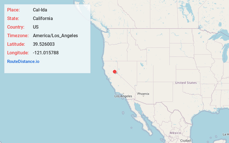
Full AddressCal-Ida, CA 95922
-
Coordinates39.526003, -121.0157881
-
LocationCal-Ida , California , US
-
TimezoneAmerica/Los_Angeles
-
Current Local Time10:13:25 AM America/Los_AngelesSaturday, May 31, 2025
-
Page Views0
About Cal-Ida
Cal-Ida is an unincorporated community in Sierra County, California, United States. Cal-Ida is 7 miles west of Goodyears Bar. A former sawmill camp, Cal-Ida was down to four residents by 1971; a few buildings remain at the site today.
Nearby Places
Found 10 places within 50 miles

Weeds Point
3.8 mi
6.1 km
Weeds Point, CA 95922
Get directions
Scales
5.1 mi
8.2 km
Scales, CA
Get directions
North Star
5.3 mi
8.5 km
North Star, CA 95981
Get directions

Camptonville
5.4 mi
8.7 km
Camptonville, CA 95922
Get directions

Strawberry Valley
5.5 mi
8.9 km
Strawberry Valley, CA 95981
Get directions
Poverty Hill
6.7 mi
10.8 km
Poverty Hill, CA
Get directions
Goodyears Bar
7.0 mi
11.3 km
Goodyears Bar, CA 95944
Get directions
Pike
7.2 mi
11.6 km
Pike, CA 95960
Get directions

Clipper Mills
7.9 mi
12.7 km
Clipper Mills, CA 95930
Get directions
Alleghany
10.0 mi
16.1 km
Alleghany, CA 95910
Get directions
Location Links
Local Weather
Weather Information
Coming soon!
Location Map
Static map view of Cal-Ida, California
Browse Places by Distance
Places within specific distances from Cal-Ida
Short Distances
Long Distances
Click any distance to see all places within that range from Cal-Ida. Distances shown in miles (1 mile ≈ 1.61 kilometers).