Distance to Calhoun Falls, South Carolina

Calculating Your Route
Just a moment while we process your request...
Location Information
-
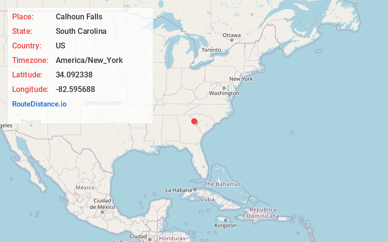
Full AddressCalhoun Falls, SC 29628
-
Coordinates34.0923375, -82.5956875
-
LocationCalhoun Falls , South Carolina , US
-
TimezoneAmerica/New_York
-
Current Local Time12:29:01 PM America/New_YorkMonday, June 23, 2025
-
Page Views0
About Calhoun Falls
Calhoun Falls is a town in Abbeville County, South Carolina, United States. The population was 1,724 at the 2020 census, down from 2,004 at the 2010 census.
The town derives its name from James Edward Colhoun.


Nearby Places
Found 10 places within 50 miles

Abbeville
13.7 mi
22.0 km
Abbeville, SC 29620
Get directions

Elberton
15.6 mi
25.1 km
Elberton, GA 30635
Get directions

McCormick
21.3 mi
34.3 km
McCormick, SC 29835
Get directions

Greenwood
25.8 mi
41.5 km
Greenwood, SC
Get directions

Washington
25.9 mi
41.7 km
Washington, GA 30673
Get directions

Hartwell
26.3 mi
42.3 km
Hartwell, GA 30643
Get directions

Homeland Park
26.5 mi
42.6 km
Homeland Park, SC
Get directions

Honea Path
27.1 mi
43.6 km
Honea Path, SC 29654
Get directions

Anderson
28.6 mi
46.0 km
Anderson, SC
Get directions

Belton
30.3 mi
48.8 km
Belton, SC 29627
Get directions
Location Links
Local Weather
Weather Information
Coming soon!
Location Map
Static map view of Calhoun Falls, South Carolina
Browse Places by Distance
Places within specific distances from Calhoun Falls
Short Distances
Long Distances
Click any distance to see all places within that range from Calhoun Falls. Distances shown in miles (1 mile ≈ 1.61 kilometers).