Distance to Callaghan, Virginia
Location Information
-
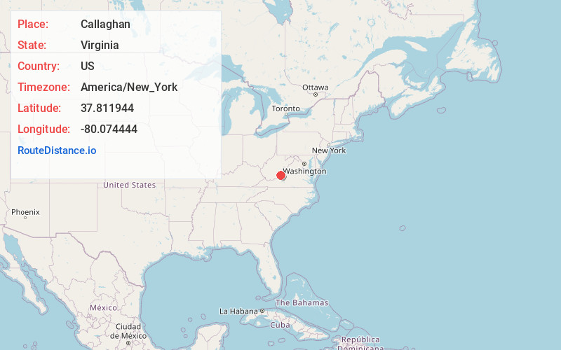
Full AddressCallaghan, VA 24426
-
Coordinates37.8119439, -80.074444
-
LocationCallaghan , Virginia , US
-
TimezoneAmerica/New_York
-
Current Local Time3:01:14 AM America/New_YorkThursday, May 15, 2025
-
Page Views0
About Callaghan
Callaghan is an Unincorporated community and census-designated place in Alleghany County, Virginia, United States. The population as of the 2010 Census was 348.
Humpback Covered Bridge and Wood Hall are listed on the U.S. National Register of Historic Places.
Nearby Places
Found 10 places within 50 miles

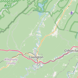
Covington
4.6 mi
7.4 km
Covington, VA 24426
Get directions

Low Moor
10.5 mi
16.9 km
Low Moor, VA
Get directions

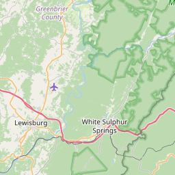
White Sulphur Springs
12.2 mi
19.6 km
White Sulphur Springs, WV 24986
Get directions

Selma
12.3 mi
19.8 km
Selma, VA
Get directions

Clifton Forge
13.6 mi
21.9 km
Clifton Forge, VA 24422
Get directions

Iron Gate
15.5 mi
24.9 km
Iron Gate, VA
Get directions

Hot Springs
18.5 mi
29.8 km
Hot Springs, VA 24445
Get directions

Lewisburg
20.3 mi
32.7 km
Lewisburg, WV 24901
Get directions


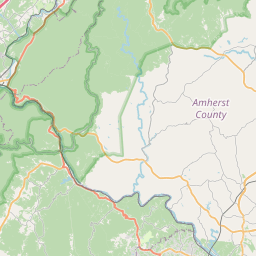
Leaflet © OpenStreetMap contributors
Location Links
Local Weather
Weather Information
Coming soon!
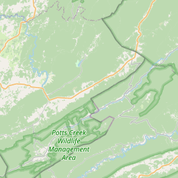
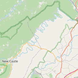
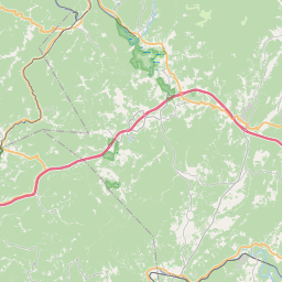
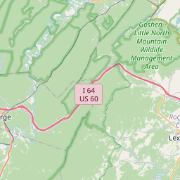
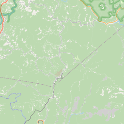
Location Map
Static map view of Callaghan, Virginia
Browse Places by Distance
Places within specific distances from Callaghan
Short Distances
Long Distances
Click any distance to see all places within that range from Callaghan. Distances shown in miles (1 mile ≈ 1.61 kilometers).