Distance to Callaway, Virginia

Calculating Your Route
Just a moment while we process your request...
Location Information
-
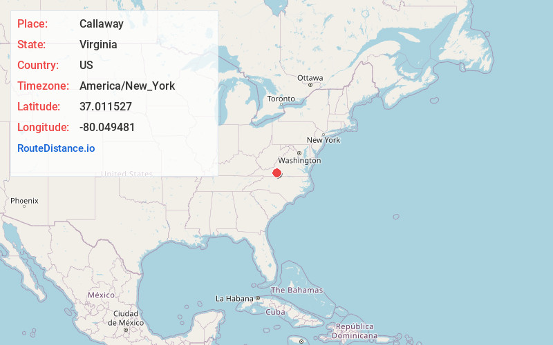
Full AddressCallaway, VA 24067
-
Coordinates37.0115267, -80.0494814
-
LocationCallaway , Virginia , US
-
TimezoneAmerica/New_York
-
Current Local Time7:17:08 PM America/New_YorkFriday, June 20, 2025
-
Page Views0
About Callaway
Callaway is an unincorporated community in Franklin County, Virginia, United States. Callaway is 8.8 miles west of Rocky Mount. Callaway has a post office with ZIP code 24067, which opened on July 14, 1871.
Bleak Hill was listed on the National Register of Historic Places in 2002.


Nearby Places
Found 10 places within 50 miles

Algoma
3.7 mi
6.0 km
Algoma, VA 24067
Get directions
Dugwell
5.4 mi
8.7 km
Dugwell, VA 24151
Get directions

Ferrum
6.4 mi
10.3 km
Ferrum, VA 24088
Get directions
Copper Hill
6.7 mi
10.8 km
Copper Hill, VA 24079
Get directions
Barfoot
7.0 mi
11.3 km
Barfoot, VA 24151
Get directions
Gogginsville
7.1 mi
11.4 km
Gogginsville, VA 24151
Get directions
Simpsons
8.7 mi
14.0 km
Simpsons, VA 24072
Get directions

Rocky Mount
8.7 mi
14.0 km
Rocky Mount, VA 24151
Get directions

Boones Mill
8.9 mi
14.3 km
Boones Mill, VA 24065
Get directions
Naff
9.7 mi
15.6 km
Naff, VA 24065
Get directions
Location Links
Local Weather
Weather Information
Coming soon!
Location Map
Static map view of Callaway, Virginia
Browse Places by Distance
Places within specific distances from Callaway
Short Distances
Long Distances
Click any distance to see all places within that range from Callaway. Distances shown in miles (1 mile ≈ 1.61 kilometers).