Distance to Calora, Nebraska

Calculating Your Route
Just a moment while we process your request...
Location Information
-
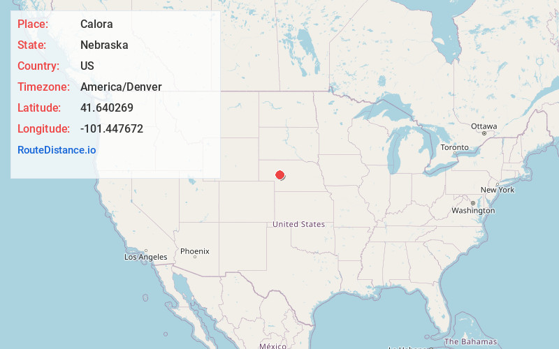
Full AddressCalora, NE 69165
-
Coordinates41.6402688, -101.4476715
-
LocationCalora , Nebraska , US
-
TimezoneAmerica/Denver
-
Current Local Time12:56:42 AM America/DenverFriday, June 20, 2025
-
Page Views0
About Calora
Calora is an unincorporated community in Arthur County, Nebraska, United States.
Nearby Places
Found 10 places within 50 miles

Lena
5.0 mi
8.0 km
Lena, NE 69366
Get directions
Flats
7.0 mi
11.3 km
Flats, Whitewater Precinct, NE 69165
Get directions
Arthur
13.5 mi
21.7 km
Arthur, NE 69121
Get directions
McKeag
20.9 mi
33.6 km
McKeag, NE 69146
Get directions
Tryon
26.0 mi
41.8 km
Tryon, NE 69167
Get directions
Duluth
27.8 mi
44.7 km
Duluth, Whitman Precinct, NE 69366
Get directions

Hyannis
29.7 mi
47.8 km
Hyannis, NE
Get directions
Broganville
30.1 mi
48.4 km
Broganville, Whitetail Precinct, NE 69144
Get directions
Keystone
30.1 mi
48.4 km
Keystone, NE 69144
Get directions
Lemoyne
31.7 mi
51.0 km
Lemoyne, NE 69146
Get directions
Location Links
Local Weather
Weather Information
Coming soon!
Location Map
Static map view of Calora, Nebraska
Browse Places by Distance
Places within specific distances from Calora
Short Distances
Long Distances
Click any distance to see all places within that range from Calora. Distances shown in miles (1 mile ≈ 1.61 kilometers).