Distance to Keystone, Nebraska

Calculating Your Route
Just a moment while we process your request...
Location Information
-
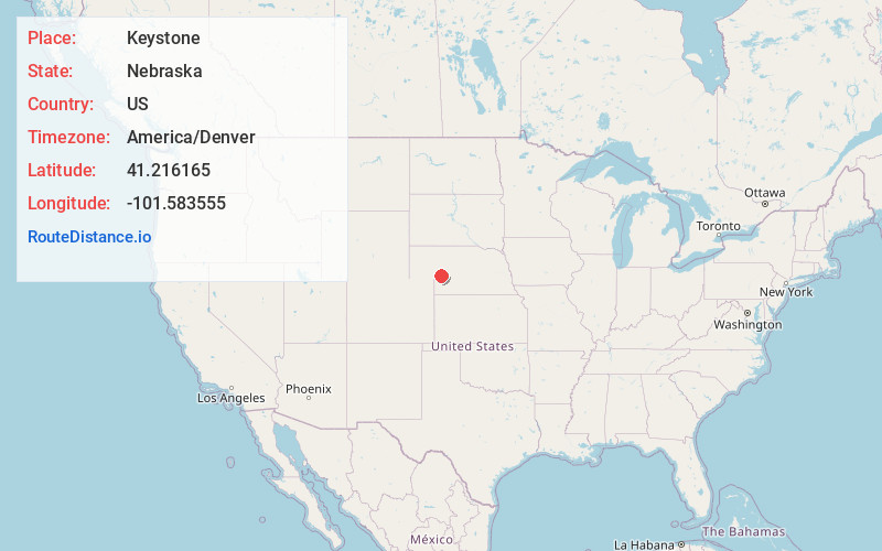
Full AddressKeystone, NE 69144
-
Coordinates41.2161648, -101.5835551
-
LocationKeystone , Nebraska , US
-
TimezoneAmerica/Denver
-
Current Local Time1:06:50 AM America/DenverFriday, June 20, 2025
-
Page Views0
About Keystone
Keystone is an unincorporated community and census-designated place in central Keith County, Nebraska, United States. As of the 2010 census its population was 59.
It lies along local roads near the North Platte River, 13 miles northeast of the city of Ogallala, the county seat of Keith County.
Nearby Places
Found 10 places within 50 miles

Roscoe
5.9 mi
9.5 km
Roscoe, NE 69153
Get directions

Ogallala
9.4 mi
15.1 km
Ogallala, NE 69153
Get directions
Lemoyne
12.6 mi
20.3 km
Lemoyne, NE 69146
Get directions

Paxton
13.4 mi
21.6 km
Paxton, NE 69155
Get directions

Brule
18.0 mi
29.0 km
Brule, NE 69127
Get directions
Belmar
18.2 mi
29.3 km
Belmar, NE 69147
Get directions

Sutherland
24.1 mi
38.8 km
Sutherland, NE 69165
Get directions
Arthur
25.2 mi
40.6 km
Arthur, NE 69121
Get directions

Madrid
25.4 mi
40.9 km
Madrid, NE 69150
Get directions

Grant
26.8 mi
43.1 km
Grant, NE 69140
Get directions
Location Links
Local Weather
Weather Information
Coming soon!
Location Map
Static map view of Keystone, Nebraska
Browse Places by Distance
Places within specific distances from Keystone
Short Distances
Long Distances
Click any distance to see all places within that range from Keystone. Distances shown in miles (1 mile ≈ 1.61 kilometers).