Distance to Lemoyne, Nebraska

Calculating Your Route
Just a moment while we process your request...
Location Information
-
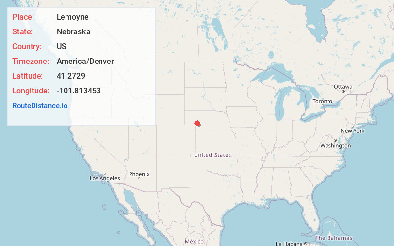
Full AddressLemoyne, NE 69146
-
Coordinates41.2729002, -101.8134532
-
LocationLemoyne , Nebraska , US
-
TimezoneAmerica/Denver
-
Current Local Time4:11:44 AM America/DenverSunday, June 1, 2025
-
Page Views0
About Lemoyne
Lemoyne is an unincorporated community and census-designated place in northwestern Keith County, Nebraska, United States. As of the 2010 census it had a population of 82.
Nearby Places
Found 10 places within 50 miles

Belmar
5.6 mi
9.0 km
Belmar, NE 69147
Get directions

Ogallala
11.1 mi
17.9 km
Ogallala, NE 69153
Get directions

Brule
13.0 mi
20.9 km
Brule, NE 69127
Get directions
Roscoe
15.4 mi
24.8 km
Roscoe, NE 69153
Get directions

Lewellen
17.6 mi
28.3 km
Lewellen, NE 69147
Get directions

Big Springs
19.9 mi
32.0 km
Big Springs, NE 69122
Get directions
Arthur
21.6 mi
34.8 km
Arthur, NE 69121
Get directions

Paxton
25.9 mi
41.7 km
Paxton, NE 69155
Get directions

Oshkosh
29.0 mi
46.7 km
Oshkosh, NE 69154
Get directions

Grant
30.1 mi
48.4 km
Grant, NE 69140
Get directions
Location Links
Local Weather
Weather Information
Coming soon!
Location Map
Static map view of Lemoyne, Nebraska
Browse Places by Distance
Places within specific distances from Lemoyne
Short Distances
Long Distances
Click any distance to see all places within that range from Lemoyne. Distances shown in miles (1 mile ≈ 1.61 kilometers).