Distance to Calvary, Georgia

Calculating Your Route
Just a moment while we process your request...
Location Information
-
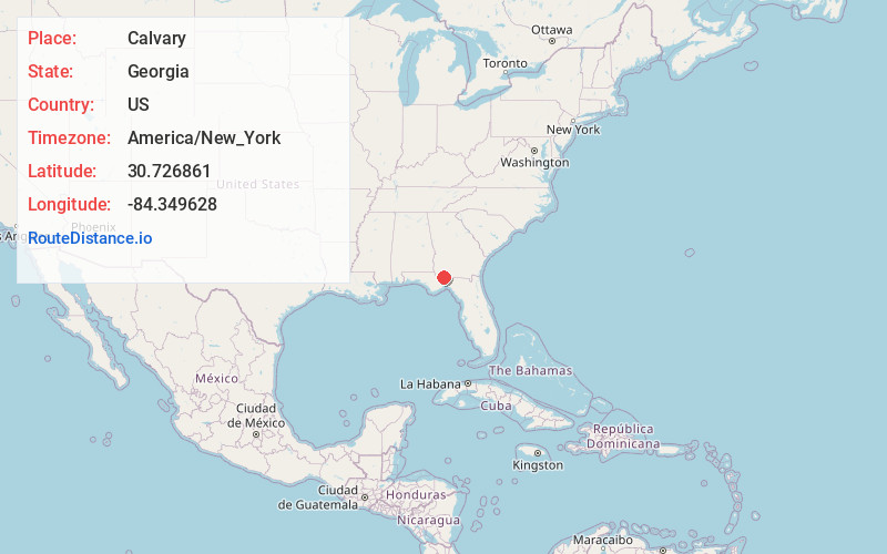
Full AddressCalvary, GA
-
Coordinates30.7268608, -84.3496275
-
LocationCalvary , Georgia , US
-
TimezoneAmerica/New_York
-
Current Local Time10:14:10 AM America/New_YorkFriday, June 20, 2025
-
Page Views0
About Calvary
Calvary is a census-designated place and unincorporated community in Grady County, Georgia, United States. As of 2020, its population was 129. It is located along Georgia State Route 111, 15 miles southwest of Cairo, the Grady County seat. Tallahassee, Florida, is 23 miles to the south.


Nearby Places
Found 10 places within 50 miles

Havana
8.1 mi
13.0 km
Havana, FL 32333
Get directions

Attapulgus
8.1 mi
13.0 km
Attapulgus, GA 39815
Get directions

Whigham
10.9 mi
17.5 km
Whigham, GA 39897
Get directions
Climax
11.4 mi
18.3 km
Climax, GA 39834
Get directions

Cairo
13.6 mi
21.9 km
Cairo, GA
Get directions
Bradfordville
13.9 mi
22.4 km
Bradfordville, FL
Get directions

Midway
17.2 mi
27.7 km
Midway, FL
Get directions

Quincy
17.3 mi
27.8 km
Quincy, FL
Get directions
Faceville
17.3 mi
27.8 km
Faceville, GA 39819
Get directions

Bainbridge
18.1 mi
29.1 km
Bainbridge, GA
Get directions
Location Links
Local Weather
Weather Information
Coming soon!
Location Map
Static map view of Calvary, Georgia
Browse Places by Distance
Places within specific distances from Calvary
Short Distances
Long Distances
Click any distance to see all places within that range from Calvary. Distances shown in miles (1 mile ≈ 1.61 kilometers).