Distance to Calvin, Arkansas

Calculating Your Route
Just a moment while we process your request...
Location Information
-
Full AddressCalvin, AR 72410
-
Coordinates35.930393, -91.058113
-
LocationCalvin , Arkansas , US
-
TimezoneAmerica/Chicago
-
Current Local Time3:45:01 PM America/ChicagoTuesday, July 1, 2025
-
Page Views0
About Calvin
Calvin is a hamlet within Lawrence County, Arkansas.
It is at the intersection of U.S. Route 67 and Lawrence Road 548 to the west and Lawrence Road 730.
Nearby Places
Found 10 places within 50 miles

Alicia
2.9 mi
4.7 km
Alicia, AR 72410
Get directions

Minturn
3.4 mi
5.5 km
Minturn, AR
Get directions

Strangers Home
4.0 mi
6.4 km
Strangers Home, AR 72410
Get directions
Clover Bend
4.0 mi
6.4 km
Clover Bend, AR 72410
Get directions
Lindsey
4.8 mi
7.7 km
Lindsey, AR 72433
Get directions
Arbor Grove
6.1 mi
9.8 km
Arbor Grove, AR 72433
Get directions
Lauratown
6.4 mi
10.3 km
Lauratown, AR 72433
Get directions
Egypt
7.6 mi
12.2 km
Egypt, AR
Get directions

Swifton
8.4 mi
13.5 km
Swifton, AR 72471
Get directions
Coffman
9.3 mi
15.0 km
Coffman, AR 72433
Get directions
Location Links
Local Weather
Weather Information
Coming soon!
Location Map
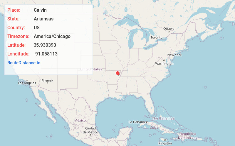
Static map view of Calvin, Arkansas
Browse Places by Distance
Places within specific distances from Calvin
Short Distances
Long Distances
Click any distance to see all places within that range from Calvin. Distances shown in miles (1 mile ≈ 1.61 kilometers).