Distance to Clover Bend, Arkansas

Calculating Your Route
Just a moment while we process your request...
Location Information
-
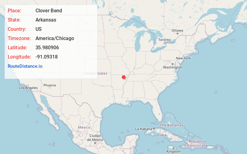
Full AddressClover Bend, AR 72410
-
Coordinates35.9809055, -91.0931798
-
LocationArkansas , US
-
TimezoneAmerica/Chicago
-
Current Local Time4:04:41 PM America/ChicagoWednesday, June 18, 2025
-
Page Views0
About Clover Bend
Clover Bend is an unincorporated community in Lawrence County, Arkansas, United States. It is the location of two historic sites listed on the U.S. National Register of Historic Places: the Clover Bend ...
Nearby Places
Found 10 places within 50 miles

Lauratown
2.7 mi
4.3 km
Lauratown, AR 72433
Get directions

Minturn
3.6 mi
5.8 km
Minturn, AR
Get directions
Coffman
5.8 mi
9.3 km
Coffman, AR 72433
Get directions

Alicia
6.0 mi
9.7 km
Alicia, AR 72410
Get directions
Powhatan
7.2 mi
11.6 km
Powhatan, AR
Get directions
Portia
7.4 mi
11.9 km
Portia, AR
Get directions
Hoxie
8.2 mi
13.2 km
Hoxie, AR
Get directions

Black Rock
8.8 mi
14.2 km
Black Rock, AR
Get directions

Lynn
9.1 mi
14.6 km
Lynn, AR
Get directions

Walnut Ridge
9.8 mi
15.8 km
Walnut Ridge, AR
Get directions
Location Links
Local Weather
Weather Information
Coming soon!
Location Map
Static map view of Clover Bend, Arkansas
Browse Places by Distance
Places within specific distances from Clover Bend
Short Distances
Long Distances
Click any distance to see all places within that range from Clover Bend. Distances shown in miles (1 mile ≈ 1.61 kilometers).