Distance to Camargo, Illinois

Calculating Your Route
Just a moment while we process your request...
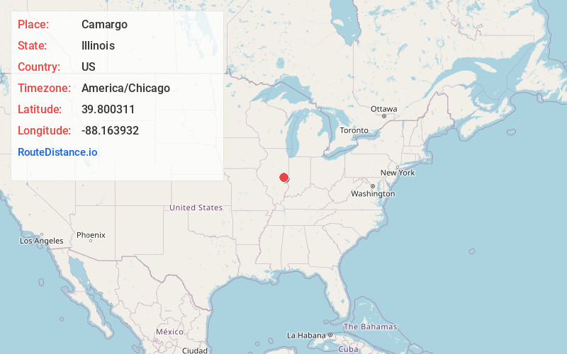
Location Information
-
Full AddressCamargo, IL
-
Coordinates39.8003105, -88.1639315
-
LocationCamargo , Illinois , US
-
TimezoneAmerica/Chicago
-
Current Local Time9:36:04 PM America/ChicagoMonday, June 2, 2025
-
Page Views0
About Camargo
Camargo is a village in Douglas County, Illinois, United States. The population was 452 at the 2020 census. Camargo is at the intersection of Illinois Route 130 and U.S. Route 36. Camargo is the oldest township in Douglas County.
Nearby Places
Found 10 places within 50 miles

Villa Grove
4.3 mi
6.9 km
Villa Grove, IL 61956
Get directions

Tuscola
6.3 mi
10.1 km
Tuscola, IL 61953
Get directions

Newman
9.5 mi
15.3 km
Newman, IL 61942
Get directions

Arcola
11.0 mi
17.7 km
Arcola, IL 61910
Get directions

Oakland
12.4 mi
20.0 km
Oakland, IL 61943
Get directions

Tolono
13.8 mi
22.2 km
Tolono, IL 61880
Get directions

Philo
14.3 mi
23.0 km
Philo, IL 61864
Get directions

Atwood
15.8 mi
25.4 km
Atwood, IL 61913
Get directions

Sidney
16.3 mi
26.2 km
Sidney, IL 61877
Get directions

Arthur
17.4 mi
28.0 km
Arthur, IL
Get directions
Location Links
Local Weather
Weather Information
Coming soon!
Location Map
Static map view of Camargo, Illinois
Browse Places by Distance
Places within specific distances from Camargo
Short Distances
Long Distances
Click any distance to see all places within that range from Camargo. Distances shown in miles (1 mile ≈ 1.61 kilometers).