Distance to Arthur, Illinois

Calculating Your Route
Just a moment while we process your request...
Location Information
-
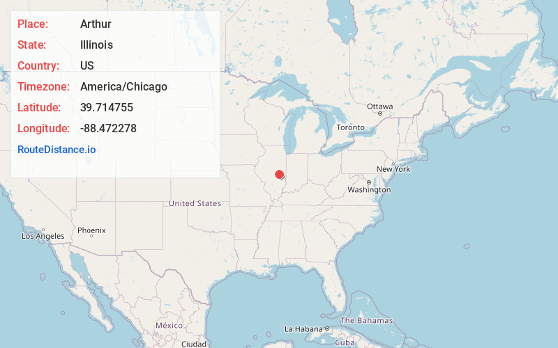
Full AddressArthur, IL
-
Coordinates39.7147552, -88.472278
-
LocationArthur , Illinois , US
-
TimezoneAmerica/Chicago
-
Current Local Time9:41:31 AM America/ChicagoMonday, June 23, 2025
-
Website
-
Page Views0
About Arthur
Arthur is a village in Douglas and Moultrie counties in Illinois, with Arthur's primary street, Vine Street, being the county line. The population was 2,231 at the 2020 census. The Arthur area is home to the largest and oldest Amish community in Illinois, which was founded in the 1860s.


Nearby Places
Found 10 places within 50 miles

Arcola
9.1 mi
14.6 km
Arcola, IL 61910
Get directions

Sullivan
10.7 mi
17.2 km
Sullivan, IL 61951
Get directions

Tuscola
11.6 mi
18.7 km
Tuscola, IL 61953
Get directions

Mattoon
16.9 mi
27.2 km
Mattoon, IL 61938
Get directions

Villa Grove
19.4 mi
31.2 km
Villa Grove, IL 61956
Get directions

Mt Zion
21.7 mi
34.9 km
Mt Zion, IL
Get directions

Charleston
21.8 mi
35.1 km
Charleston, IL
Get directions

Tolono
21.9 mi
35.2 km
Tolono, IL 61880
Get directions

Monticello
22.3 mi
35.9 km
Monticello, IL 61856
Get directions

Savoy
26.2 mi
42.2 km
Savoy, IL
Get directions
Location Links
Local Weather
Weather Information
Coming soon!
Location Map
Static map view of Arthur, Illinois
Browse Places by Distance
Places within specific distances from Arthur
Short Distances
Long Distances
Click any distance to see all places within that range from Arthur. Distances shown in miles (1 mile ≈ 1.61 kilometers).