Distance to Cameron, Ohio

Calculating Your Route
Just a moment while we process your request...
Location Information
-
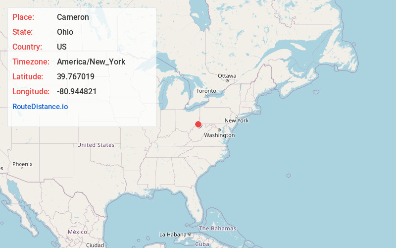
Full AddressCameron, OH 43716
-
Coordinates39.7670187, -80.9448205
-
LocationCameron , Ohio , US
-
TimezoneAmerica/New_York
-
Current Local Time1:55:44 AM America/New_YorkWednesday, June 18, 2025
-
Page Views0
About Cameron
Cameron is an unincorporated community in eastern Adams Township, Monroe County, Ohio, United States. It has a post office with the ZIP code 43914. It lies along State Route 78.
Cameron was originally called Jamestown, and under the latter name was platted in 1838.
Nearby Places
Found 10 places within 50 miles

Round Bottom
2.6 mi
4.2 km
Round Bottom, Green Township, OH 43793
Get directions

Clarington
3.9 mi
6.3 km
Clarington, OH 43915
Get directions
Cranenest
6.8 mi
10.9 km
Cranenest, Green Township, OH 43793
Get directions
Beallsville
7.4 mi
11.9 km
Beallsville, OH 43716
Get directions

Hannibal
7.9 mi
12.7 km
Hannibal, OH
Get directions
Dairy
8.1 mi
13.0 km
Dairy, Lee Township, OH 43946
Get directions
Graysville
8.7 mi
14.0 km
Graysville, WV 26041
Get directions

Wilson
9.0 mi
14.5 km
Wilson, OH 43716
Get directions

Woodsfield
9.1 mi
14.6 km
Woodsfield, OH 43793
Get directions
Griffith
9.1 mi
14.6 km
Griffith, Center Township, OH 43793
Get directions
Location Links
Local Weather
Weather Information
Coming soon!
Location Map
Static map view of Cameron, Ohio
Browse Places by Distance
Places within specific distances from Cameron
Short Distances
Long Distances
Click any distance to see all places within that range from Cameron. Distances shown in miles (1 mile ≈ 1.61 kilometers).