Distance to Camp Croft, South Carolina

Calculating Your Route
Just a moment while we process your request...
Location Information
-
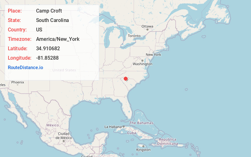
Full AddressCamp Croft, SC 29302
-
Coordinates34.9106819, -81.85288
-
LocationCamp Croft , South Carolina , US
-
TimezoneAmerica/New_York
-
Current Local Time2:52:54 PM America/New_YorkFriday, May 30, 2025
-
Page Views0
About Camp Croft
Camp Croft is an unincorporated area and census-designated place in Spartanburg County, South Carolina, United States. It was first listed as a CDP prior to the 2020 census. The 2020 census lists a population of 2,110.
The CDP is in eastern Spartanburg County and is bordered to the north by Ben Avon.


Nearby Places
Found 10 places within 50 miles

Ben Avon
2.3 mi
3.7 km
Ben Avon, SC 29302
Get directions

Spartanburg
5.3 mi
8.5 km
Spartanburg, SC
Get directions

Pacolet
5.3 mi
8.5 km
Pacolet, SC
Get directions
Whitney Heights
6.2 mi
10.0 km
Whitney Heights, SC 29303
Get directions

Roebuck
6.8 mi
10.9 km
Roebuck, SC
Get directions
Saxon
7.4 mi
11.9 km
Saxon, SC
Get directions

Cowpens
7.8 mi
12.6 km
Cowpens, SC 29330
Get directions

Arcadia
8.6 mi
13.8 km
Arcadia, SC
Get directions
Southern Shops
9.6 mi
15.4 km
Southern Shops, SC
Get directions
Valley Falls
10.0 mi
16.1 km
Valley Falls, SC
Get directions
Location Links
Local Weather
Weather Information
Coming soon!
Location Map
Static map view of Camp Croft, South Carolina
Browse Places by Distance
Places within specific distances from Camp Croft
Short Distances
Long Distances
Click any distance to see all places within that range from Camp Croft. Distances shown in miles (1 mile ≈ 1.61 kilometers).