Distance to Campbelltown, West Virginia

Calculating Your Route
Just a moment while we process your request...
Location Information
-
Full AddressCampbelltown, Marlinton, WV 24954
-
Coordinates38.2417866, -80.090621
-
LocationMarlinton , West Virginia , US
-
TimezoneAmerica/New_York
-
Current Local Time2:03:26 PM America/New_YorkSaturday, May 17, 2025
-
Page Views0
About Campbelltown
Campbelltown is an unincorporated community in Pocahontas County, West Virginia, United States. Campbelltown is located on U.S. Route 219, 1.5 miles north of Marlinton.
Nearby Places
Found 10 places within 50 miles

Marlinton
1.3 mi
2.1 km
Marlinton, WV
Get directions

Brownsburg
2.0 mi
3.2 km
Brownsburg, WV 24954
Get directions
Onoto
2.2 mi
3.5 km
Onoto, Marlinton, WV 24954
Get directions

Edray
2.3 mi
3.7 km
Edray, WV 24954
Get directions
Stillwell
2.3 mi
3.7 km
Stillwell, WV 24954
Get directions
Beard Heights
2.7 mi
4.3 km
Beard Heights, WV 24954
Get directions
Buckeye
4.5 mi
7.2 km
Buckeye, WV
Get directions
Woodrow
4.6 mi
7.4 km
Woodrow, WV 24954
Get directions

Huntersville
5.5 mi
8.9 km
Huntersville, WV 24954
Get directions
Mill Point
7.6 mi
12.2 km
Mill Point, WV 24954
Get directions
Location Links
Local Weather
Weather Information
Coming soon!
Location Map
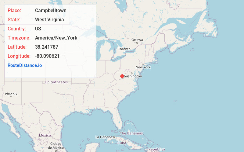
Static map view of Campbelltown, West Virginia
Browse Places by Distance
Places within specific distances from Campbelltown
Short Distances
Long Distances
Click any distance to see all places within that range from Campbelltown. Distances shown in miles (1 mile ≈ 1.61 kilometers).