Distance to Campo Seco, California

Calculating Your Route
Just a moment while we process your request...
Location Information
-
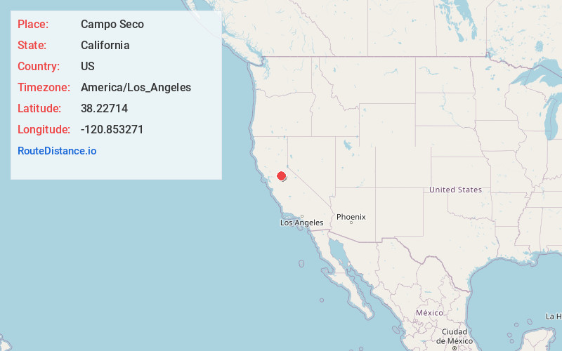
Full AddressCampo Seco, CA
-
Coordinates38.22714, -120.8532709
-
LocationCampo Seco , California , US
-
TimezoneAmerica/Los_Angeles
-
Current Local Time9:12:01 PM America/Los_AngelesSunday, June 1, 2025
-
Page Views0
About Campo Seco
Campo Seco is an unincorporated community and census designated place in Calaveras County, California. It sits at an elevation of 564 feet above sea level and is located at 38°13′38″N 120°51′12″W. The community is in ZIP code 95226 and area code 209.


Nearby Places
Found 10 places within 50 miles

Camp Pardee
1.5 mi
2.4 km
Camp Pardee, CA 95252
Get directions

Valley Springs
2.8 mi
4.5 km
Valley Springs, CA 95252
Get directions
Burson
3.6 mi
5.8 km
Burson, CA 95252
Get directions

Camanche North Shore
5.4 mi
8.7 km
Camanche North Shore, CA 95640
Get directions

Camanche Village
7.0 mi
11.3 km
Camanche Village, CA 95640
Get directions

Wallace
7.1 mi
11.4 km
Wallace, CA
Get directions

Rancho Calaveras
7.2 mi
11.6 km
Rancho Calaveras, CA 95252
Get directions
Sunnybrook
8.1 mi
13.0 km
Sunnybrook, CA 95640
Get directions
Firebrick
8.4 mi
13.5 km
Firebrick, CA 95640
Get directions

Jackson
9.4 mi
15.1 km
Jackson, CA 95642
Get directions
Location Links
Local Weather
Weather Information
Coming soon!
Location Map
Static map view of Campo Seco, California
Browse Places by Distance
Places within specific distances from Campo Seco
Short Distances
Long Distances
Click any distance to see all places within that range from Campo Seco. Distances shown in miles (1 mile ≈ 1.61 kilometers).