Distance to Campton, Georgia

Calculating Your Route
Just a moment while we process your request...
Location Information
-
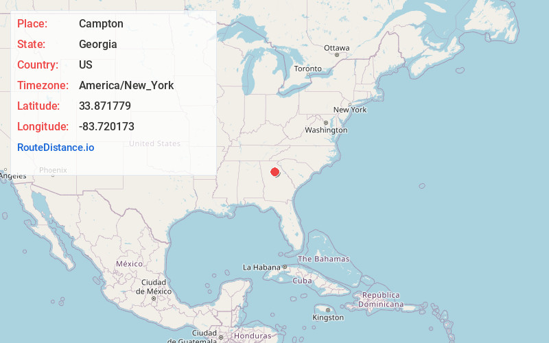
Full AddressCampton, GA 30656
-
Coordinates33.8717791, -83.7201728
-
LocationCampton , Georgia , US
-
TimezoneAmerica/New_York
-
Current Local Time12:45:05 PM America/New_YorkMonday, June 23, 2025
-
Page Views0
About Campton
Campton is an unincorporated community in Walton County, Georgia, United States. It is located approximately 15 miles from Dacula and Highway 316.
Nearby Places
Found 10 places within 50 miles

Nicholasville
2.0 mi
3.2 km
Nicholasville, GA 30656
Get directions

Bethlehem
4.2 mi
6.8 km
Bethlehem, GA
Get directions
Bradley
4.9 mi
7.9 km
Bradley, GA 30656
Get directions

Monroe
5.3 mi
8.5 km
Monroe, GA
Get directions
Between
6.3 mi
10.1 km
Between, GA
Get directions
Windsor
7.0 mi
11.3 km
Windsor, GA 30052
Get directions
Russell
7.5 mi
12.1 km
Russell, GA 30680
Get directions

Winder
8.3 mi
13.4 km
Winder, GA
Get directions

Good Hope
8.8 mi
14.2 km
Good Hope, GA 30641
Get directions
Whistleville
9.2 mi
14.8 km
Whistleville, GA 30680
Get directions
Location Links
Local Weather
Weather Information
Coming soon!
Location Map
Static map view of Campton, Georgia
Browse Places by Distance
Places within specific distances from Campton
Short Distances
Long Distances
Click any distance to see all places within that range from Campton. Distances shown in miles (1 mile ≈ 1.61 kilometers).