Distance to Canada, Kentucky

Calculating Your Route
Just a moment while we process your request...
Location Information
-
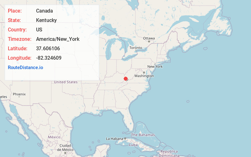
Full AddressCanada, KY 41519
-
Coordinates37.6061055, -82.3246094
-
LocationCanada , Kentucky , US
-
TimezoneAmerica/New_York
-
Current Local Time12:31:33 AM America/New_YorkThursday, June 5, 2025
-
Page Views0
About Canada
Canada is an unincorporated community in Pike County, Kentucky. Canada is located on U.S. Route 119, 13.8 miles northeast of Pikeville.
There are two possible scenarios for the origin of the name "Canada".


Nearby Places
Found 10 places within 50 miles

Belfry
3.2 mi
5.1 km
Belfry, KY 41514
Get directions

Stone
3.3 mi
5.3 km
Stone, KY 41567
Get directions
Leckieville
4.6 mi
7.4 km
Leckieville, KY 41514
Get directions

Williamson
5.4 mi
8.7 km
Williamson, WV 25661
Get directions
Merrimac
6.3 mi
10.1 km
Merrimac, WV 25661
Get directions
Rawl
6.5 mi
10.5 km
Rawl, WV 25661
Get directions
Meta
6.6 mi
10.6 km
Meta, KY 41501
Get directions

Chattaroy
7.1 mi
11.4 km
Chattaroy, WV 25661
Get directions
Cinderella
7.2 mi
11.6 km
Cinderella, WV 25661
Get directions
Piso
8.1 mi
13.0 km
Piso, KY 41571
Get directions
Location Links
Local Weather
Weather Information
Coming soon!
Location Map
Static map view of Canada, Kentucky
Browse Places by Distance
Places within specific distances from Canada
Short Distances
Long Distances
Click any distance to see all places within that range from Canada. Distances shown in miles (1 mile ≈ 1.61 kilometers).