Distance to Canadys, South Carolina

Calculating Your Route
Just a moment while we process your request...
Location Information
-
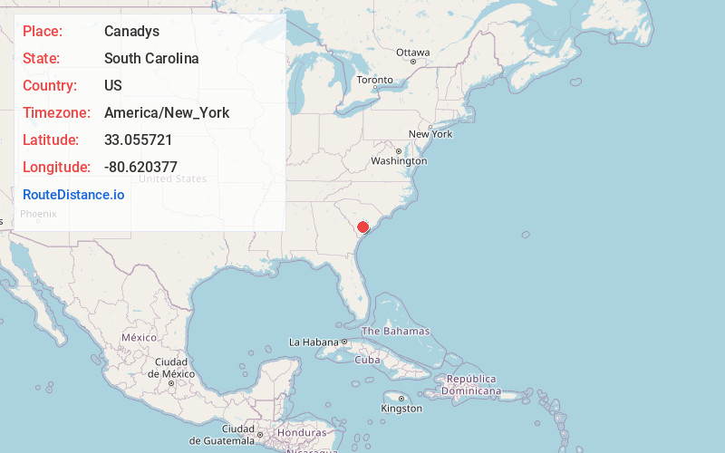
Full AddressCanadys, SC 29488
-
Coordinates33.0557212, -80.6203774
-
LocationCanadys , South Carolina , US
-
TimezoneAmerica/New_York
-
Current Local Time2:29:57 PM America/New_YorkWednesday, June 18, 2025
-
Page Views0
About Canadys
Canadys is an unincorporated community in Colleton County, South Carolina, United States. The community is located at the intersection of U.S. Route 15 and South Carolina Highway 61, 10.7 miles north-northeast of Walterboro.
Nearby Places
Found 10 places within 50 miles

Grover
3.7 mi
6.0 km
Grover, SC 29477
Get directions

Rhodes Crossroads
8.5 mi
13.7 km
Rhodes Crossroads, SC 29488
Get directions
Stokes
9.0 mi
14.5 km
Stokes, SC 29488
Get directions

St George
9.4 mi
15.1 km
St George, SC 29477
Get directions

Reevesville
10.5 mi
16.9 km
Reevesville, SC 29471
Get directions

Walterboro
10.7 mi
17.2 km
Walterboro, SC 29488
Get directions

Smoaks
11.5 mi
18.5 km
Smoaks, SC 29481
Get directions

Cottageville
11.5 mi
18.5 km
Cottageville, SC 29435
Get directions
Williams
13.0 mi
20.9 km
Williams, SC
Get directions
Pringle Bend
14.5 mi
23.3 km
Pringle Bend, SC 29488
Get directions
Location Links
Local Weather
Weather Information
Coming soon!
Location Map
Static map view of Canadys, South Carolina
Browse Places by Distance
Places within specific distances from Canadys
Short Distances
Long Distances
Click any distance to see all places within that range from Canadys. Distances shown in miles (1 mile ≈ 1.61 kilometers).