Distance to Canelo, Arizona

Calculating Your Route
Just a moment while we process your request...
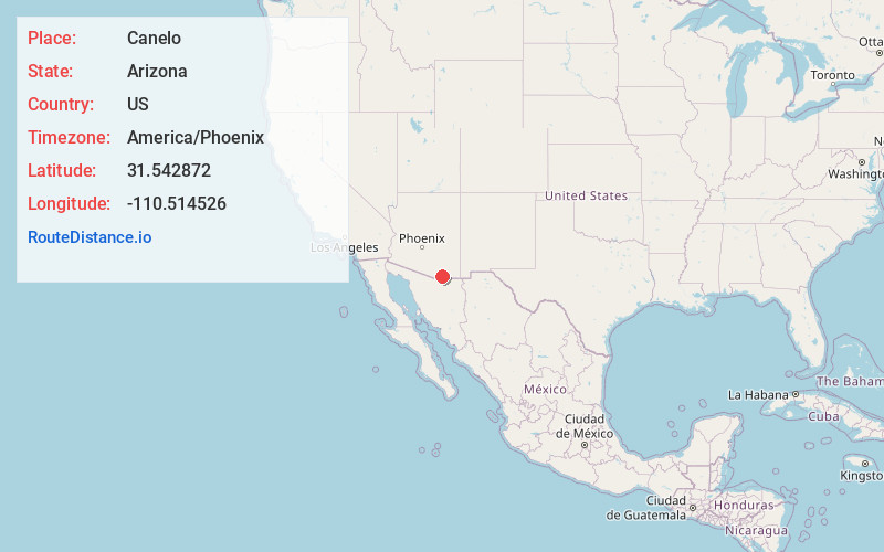
Location Information
-
Full AddressCanelo, AZ 85611
-
Coordinates31.5428722, -110.5145261
-
LocationCanelo , Arizona , US
-
TimezoneAmerica/Phoenix
-
Current Local Time9:11:38 PM America/PhoenixFriday, June 20, 2025
-
Page Views0
About Canelo
Canelo is a ghost town in eastern Santa Cruz County, Arizona, between the Canelo Hills and the northern end of the Huachuca Mountains. The site lies along Turkey Creek on Arizona State Route 83, between Sonoita and Parker Canyon Lake, which is about ten miles to the south-southeast in Cochise County.

Nearby Places
Found 10 places within 50 miles

Elgin
8.1 mi
13.0 km
Elgin, AZ 85611
Get directions

Hacienda Los Encino
11.2 mi
18.0 km
Hacienda Los Encino, Sonoita, AZ 85637
Get directions

San Rafael Valley
11.8 mi
19.0 km
San Rafael Valley, Arizona 85624
Get directions

Huachuca City
12.0 mi
19.3 km
Huachuca City, AZ 85616
Get directions

Harshaw
12.5 mi
20.1 km
Harshaw, AZ 85624
Get directions

Sonoita
12.6 mi
20.3 km
Sonoita, AZ 85637
Get directions

Sierra Vista
14.2 mi
22.9 km
Sierra Vista, AZ
Get directions

Patagonia
14.2 mi
22.9 km
Patagonia, AZ 85624
Get directions

Washington Camp
15.2 mi
24.5 km
Washington Camp, AZ 85624
Get directions

Whetstone
15.3 mi
24.6 km
Whetstone, AZ
Get directions
Location Links
Local Weather
Weather Information
Coming soon!
Location Map
Static map view of Canelo, Arizona
Browse Places by Distance
Places within specific distances from Canelo
Short Distances
Long Distances
Click any distance to see all places within that range from Canelo. Distances shown in miles (1 mile ≈ 1.61 kilometers).