Distance to Canton, Oklahoma

Calculating Your Route
Just a moment while we process your request...
Location Information
-
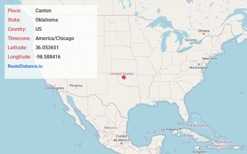
Full AddressCanton, OK 73724
-
Coordinates36.0536511, -98.5884164
-
LocationCanton , Oklahoma , US
-
TimezoneAmerica/Chicago
-
Current Local Time8:57:31 AM America/ChicagoWednesday, June 18, 2025
-
Page Views0
About Canton
Canton is a town in Blaine County, Oklahoma, United States. The population was 625 at the 2010 census.


Nearby Places
Found 10 places within 50 miles

Okeene
15.8 mi
25.4 km
Okeene, OK 73763
Get directions

Fairview
16.1 mi
25.9 km
Fairview, OK 73737
Get directions

Watonga
17.4 mi
28.0 km
Watonga, OK
Get directions

Seiling
19.9 mi
32.0 km
Seiling, OK 73663
Get directions

Thomas
23.2 mi
37.3 km
Thomas, OK 73669
Get directions

Ringwood
29.5 mi
47.5 km
Ringwood, OK 73768
Get directions

Custer City
31.5 mi
50.7 km
Custer City, OK 73639
Get directions

Geary
32.9 mi
52.9 km
Geary, OK
Get directions

Hydro
34.8 mi
56.0 km
Hydro, OK
Get directions

Lahoma
36.1 mi
58.1 km
Lahoma, OK 73754
Get directions
Location Links
Local Weather
Weather Information
Coming soon!
Location Map
Static map view of Canton, Oklahoma
Browse Places by Distance
Places within specific distances from Canton
Short Distances
Long Distances
Click any distance to see all places within that range from Canton. Distances shown in miles (1 mile ≈ 1.61 kilometers).