Distance to Custer City, Oklahoma

Calculating Your Route
Just a moment while we process your request...
Location Information
-
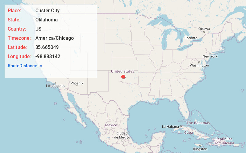
Full AddressCuster City, OK 73639
-
Coordinates35.6650491, -98.8831418
-
LocationCuster City , Oklahoma , US
-
TimezoneAmerica/Chicago
-
Current Local Time11:43:46 PM America/ChicagoMonday, June 9, 2025
-
Page Views0
About Custer City
Custer City is a town in Custer County, Oklahoma, United States. Custer City is northeast of Clinton and northwest of Weatherford along Oklahoma 33. The population was 367 at the time of the 2020 census.
Custer City was originally known as Graves, and a post office was established there on January 22, 1894.


Nearby Places
Found 10 places within 50 miles

Arapaho
7.6 mi
12.2 km
Arapaho, OK 73620
Get directions

Thomas
9.4 mi
15.1 km
Thomas, OK 73669
Get directions

Clinton
11.4 mi
18.3 km
Clinton, OK
Get directions

Weatherford
13.8 mi
22.2 km
Weatherford, OK 73096
Get directions

Hydro
18.9 mi
30.4 km
Hydro, OK
Get directions

Corn
20.6 mi
33.2 km
Corn, OK 73024
Get directions

New Cordell
26.5 mi
42.6 km
New Cordell, OK 73632
Get directions

Burns Flat
27.2 mi
43.8 km
Burns Flat, OK 73647
Get directions

Watonga
29.1 mi
46.8 km
Watonga, OK
Get directions

Geary
31.9 mi
51.3 km
Geary, OK
Get directions
Location Links
Local Weather
Weather Information
Coming soon!
Location Map
Static map view of Custer City, Oklahoma
Browse Places by Distance
Places within specific distances from Custer City
Short Distances
Long Distances
Click any distance to see all places within that range from Custer City. Distances shown in miles (1 mile ≈ 1.61 kilometers).