Distance to Canton, Connecticut

Calculating Your Route
Just a moment while we process your request...
Location Information
-
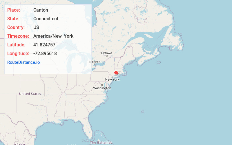
Full AddressCanton, CT
-
Coordinates41.8247572, -72.8956177
-
LocationCanton , Connecticut , US
-
TimezoneAmerica/New_York
-
Current Local Time7:33:59 AM America/New_YorkSunday, June 29, 2025
-
Website
-
Page Views0
About Canton
Canton is a town, incorporated in 1806, located in the Farmington Valley of Connecticut in the United States. It is part of Connecticut's Capitol Planning Region and the population was 10,124 as of the 2020 census.


Nearby Places
Found 10 places within 50 miles

West Avon
2.9 mi
4.7 km
West Avon, Avon, CT 06001
Get directions

Avon
3.5 mi
5.6 km
Avon, CT
Get directions
Puddle Town
4.3 mi
6.9 km
Puddle Town, New Hartford, CT 06057
Get directions

Burlington
5.2 mi
8.4 km
Burlington, CT
Get directions

New Hartford
5.6 mi
9.0 km
New Hartford, CT
Get directions

Simsbury
5.6 mi
9.0 km
Simsbury, CT
Get directions
Firetown
6.7 mi
10.8 km
Firetown, Simsbury, CT 06070
Get directions
Whigville
6.8 mi
10.9 km
Whigville, Burlington, CT 06013
Get directions

Barkhamsted
7.3 mi
11.7 km
Barkhamsted, CT
Get directions
Farmington Station
7.4 mi
11.9 km
Farmington Station, Farmington, CT 06032
Get directions
Location Links
Local Weather
Weather Information
Coming soon!
Location Map
Static map view of Canton, Connecticut
Browse Places by Distance
Places within specific distances from Canton
Short Distances
Long Distances
Click any distance to see all places within that range from Canton. Distances shown in miles (1 mile ≈ 1.61 kilometers).