Distance to Cape Cod Bay, Massachusetts

Calculating Your Route
Just a moment while we process your request...
Location Information
-
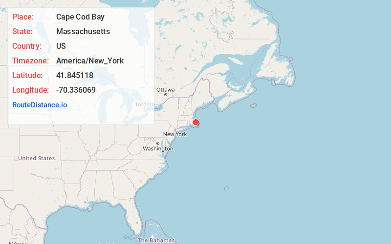
Full AddressCape Cod Bay, Massachusetts
-
Coordinates41.8451182, -70.3360691
-
LocationMassachusetts , US
-
TimezoneAmerica/New_York
-
Current Local Time9:05:24 AM America/New_YorkSunday, June 22, 2025
-
Page Views0
About Cape Cod Bay
Large Massachusetts bay known for its fishing charter opportunities & whale watching.


Nearby Places
Found 10 places within 50 miles

Cobbs Village
9.7 mi
15.6 km
Cobbs Village, Barnstable, MA 02630
Get directions
Pond Village
10.0 mi
16.1 km
Pond Village, Barnstable, MA 02668
Get directions
Harlows Landing
10.0 mi
16.1 km
Harlows Landing, Plymouth, MA 02360
Get directions

Sandwich
10.1 mi
16.3 km
Sandwich, MA
Get directions
Bayside Beach
10.2 mi
16.4 km
Bayside Beach, Plymouth, MA 02360
Get directions
Vallersville
10.4 mi
16.7 km
Vallersville, Plymouth, MA 02360
Get directions

Dennis
10.5 mi
16.9 km
Dennis, MA
Get directions

Manomet Beach
10.7 mi
17.2 km
Manomet Beach, Plymouth, MA 02360
Get directions
Cedarville Landing
10.8 mi
17.4 km
Cedarville Landing, Plymouth, MA 02360
Get directions
Eastland Heights
10.8 mi
17.4 km
Eastland Heights, Plymouth, MA 02360
Get directions
Location Links
Local Weather
Weather Information
Coming soon!
Location Map
Static map view of Cape Cod Bay, Massachusetts
Browse Places by Distance
Places within specific distances from Cape Cod Bay
Short Distances
Long Distances
Click any distance to see all places within that range from Cape Cod Bay. Distances shown in miles (1 mile ≈ 1.61 kilometers).