Distance to Carbon Hill, Ohio

Calculating Your Route
Just a moment while we process your request...
Location Information
-
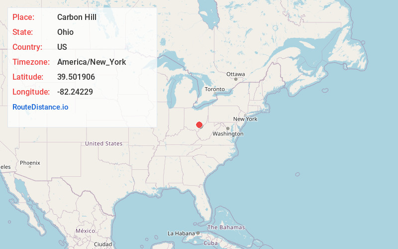
Full AddressCarbon Hill, OH
-
Coordinates39.5019064, -82.2422904
-
LocationCarbon Hill , Ohio , US
-
TimezoneAmerica/New_York
-
Current Local Time5:07:00 PM America/New_YorkFriday, June 20, 2025
-
Page Views0
About Carbon Hill
Carbon Hill is an unincorporated community and census-designated place in central Ward Township, Hocking County, Ohio, United States. It has a post office with the ZIP code 43111. As of the 2020 census the population of the CDP was 178.


Nearby Places
Found 10 places within 50 miles

Nelsonville
3.0 mi
4.8 km
Nelsonville, OH 45764
Get directions

Buchtel
4.2 mi
6.8 km
Buchtel, OH
Get directions

Murray City
4.3 mi
6.9 km
Murray City, OH
Get directions

Haydenville
4.8 mi
7.7 km
Haydenville, OH
Get directions

New Straitsville
5.3 mi
8.5 km
New Straitsville, OH 43766
Get directions

Shawnee
7.3 mi
11.7 km
Shawnee, OH
Get directions
Hemlock
7.6 mi
12.2 km
Hemlock, OH 43730
Get directions

Glouster
8.4 mi
13.5 km
Glouster, OH 45732
Get directions

Jacksonville
8.8 mi
14.2 km
Jacksonville, OH
Get directions

Trimble
8.8 mi
14.2 km
Trimble, OH
Get directions
Location Links
Local Weather
Weather Information
Coming soon!
Location Map
Static map view of Carbon Hill, Ohio
Browse Places by Distance
Places within specific distances from Carbon Hill
Short Distances
Long Distances
Click any distance to see all places within that range from Carbon Hill. Distances shown in miles (1 mile ≈ 1.61 kilometers).