Distance to Carbonton, North Carolina

Calculating Your Route
Just a moment while we process your request...
Location Information
-
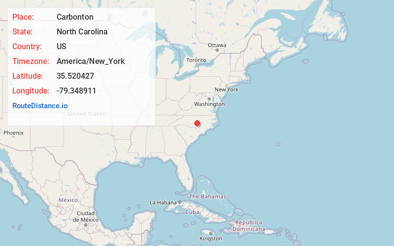
Full AddressCarbonton, NC 27252
-
Coordinates35.5204268, -79.3489112
-
LocationCarbonton , North Carolina , US
-
TimezoneAmerica/New_York
-
Current Local Time1:30:22 AM America/New_YorkSaturday, June 28, 2025
-
Page Views0
About Carbonton
Carbonton is an unincorporated community in southwestern Chatham County, North Carolina, United States, along the Deep River. The community lies near the point where Chatham, Lee, and Moore counties intersect one another.


Nearby Places
Found 10 places within 50 miles

Gulf
4.6 mi
7.4 km
Gulf, NC
Get directions

Goldston
5.2 mi
8.4 km
Goldston, NC 27252
Get directions

Cumnock
6.7 mi
10.8 km
Cumnock, NC 27330
Get directions
Harpers Crossroads
7.2 mi
11.6 km
Harpers Crossroads, NC 27207
Get directions
Putnam
8.6 mi
13.8 km
Putnam, NC 28327
Get directions
McConnell
9.8 mi
15.8 km
McConnell, NC 27325
Get directions

Sanford
9.9 mi
15.9 km
Sanford, NC
Get directions
Mt Vernon Springs
11.1 mi
17.9 km
Mt Vernon Springs, NC 27207
Get directions

Bennett
11.4 mi
18.3 km
Bennett, NC 27208
Get directions

Carthage
12.6 mi
20.3 km
Carthage, NC
Get directions
Location Links
Local Weather
Weather Information
Coming soon!
Location Map
Static map view of Carbonton, North Carolina
Browse Places by Distance
Places within specific distances from Carbonton
Short Distances
Long Distances
Click any distance to see all places within that range from Carbonton. Distances shown in miles (1 mile ≈ 1.61 kilometers).