Distance to Carbury, North Dakota

Calculating Your Route
Just a moment while we process your request...
Location Information
-
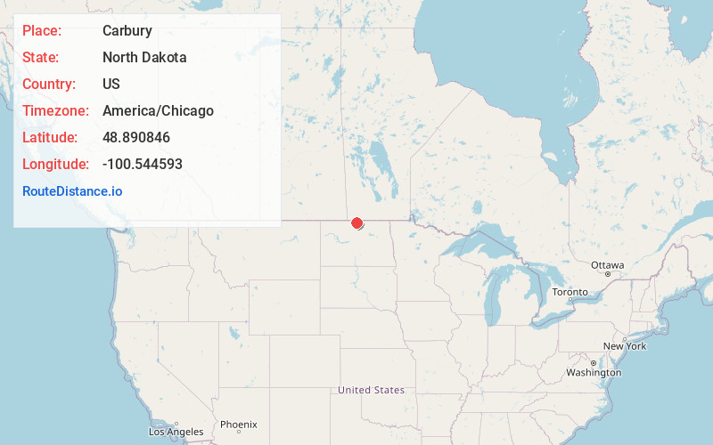
Full AddressCarbury, ND 58783
-
Coordinates48.8908464, -100.5445928
-
LocationCarbury , North Dakota , US
-
TimezoneAmerica/Chicago
-
Current Local Time6:47:04 PM America/ChicagoThursday, June 19, 2025
-
Page Views0
About Carbury
Carbury is an unincorporated community in Bottineau County in the U.S. state of North Dakota. It is located along North Dakota Highway 14 in the eastern part of the county, east of Souris. The town is virtually abandoned, and the 2000 Census did not record a population.
Nearby Places
Found 10 places within 50 miles

Bottineau
6.3 mi
10.1 km
Bottineau, ND 58318
Get directions

Souris
6.4 mi
10.3 km
Souris, ND 58783
Get directions
Roth
11.8 mi
19.0 km
Roth, ND 58783
Get directions
Gardena
13.3 mi
21.4 km
Gardena, ND
Get directions
White
13.9 mi
22.4 km
White, ND 58748
Get directions
Omemee
15.4 mi
24.8 km
Omemee, ND 58384
Get directions

Kramer
15.7 mi
25.3 km
Kramer, ND 58748
Get directions
Landa
16.7 mi
26.9 km
Landa, ND 58783
Get directions
Tasco
19.3 mi
31.1 km
Tasco, ND 58384
Get directions
Newburg
20.7 mi
33.3 km
Newburg, ND 58762
Get directions
Location Links
Local Weather
Weather Information
Coming soon!
Location Map
Static map view of Carbury, North Dakota
Browse Places by Distance
Places within specific distances from Carbury
Short Distances
Long Distances
Click any distance to see all places within that range from Carbury. Distances shown in miles (1 mile ≈ 1.61 kilometers).