Distance to Landa, North Dakota

Calculating Your Route
Just a moment while we process your request...
Location Information
-
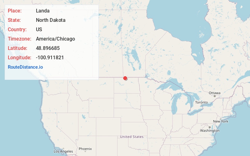
Full AddressLanda, ND 58783
-
Coordinates48.8966854, -100.9118208
-
LocationLanda , North Dakota , US
-
TimezoneAmerica/Chicago
-
Current Local Time11:42:49 PM America/ChicagoSaturday, May 31, 2025
-
Page Views0
About Landa
Landa is a city in Bottineau County, North Dakota, United States. The population was 41 at the 2020 census. Landa was founded in 1904.
Nearby Places
Found 10 places within 50 miles

Westhope
5.0 mi
8.0 km
Westhope, ND 58793
Get directions

Bottineau
21.7 mi
34.9 km
Bottineau, ND 58318
Get directions
Upham
23.3 mi
37.5 km
Upham, ND 58789
Get directions
Lansford
28.1 mi
45.2 km
Lansford, ND
Get directions
Mohall
28.9 mi
46.5 km
Mohall, ND 58761
Get directions
Glenburn
30.0 mi
48.3 km
Glenburn, ND 58740
Get directions
Sherwood
33.0 mi
53.1 km
Sherwood, ND 58782
Get directions

Minot Air Force Base
37.9 mi
61.0 km
Minot Air Force Base, ND
Get directions

Dunseith
39.1 mi
62.9 km
Dunseith, ND 58329
Get directions

Ruthville
40.3 mi
64.9 km
Ruthville, ND 58703
Get directions
Location Links
Local Weather
Weather Information
Coming soon!
Location Map
Static map view of Landa, North Dakota
Browse Places by Distance
Places within specific distances from Landa
Short Distances
Long Distances
Click any distance to see all places within that range from Landa. Distances shown in miles (1 mile ≈ 1.61 kilometers).