Distance to Kramer, North Dakota

Calculating Your Route
Just a moment while we process your request...
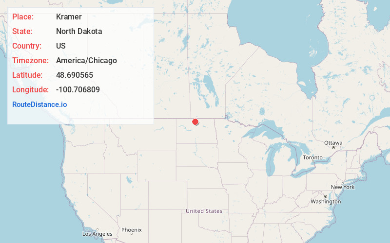
Location Information
-
Full AddressKramer, ND 58748
-
Coordinates48.690565, -100.7068093
-
LocationKramer , North Dakota , US
-
TimezoneAmerica/Chicago
-
Current Local Time8:41:30 AM America/ChicagoWednesday, June 18, 2025
-
Page Views0
About Kramer
Kramer is a city in Bottineau County, North Dakota, United States. The population was 24 at the 2020 census. Kramer was founded in 1905.

Nearby Places
Found 10 places within 50 miles

Upham
7.6 mi
12.2 km
Upham, ND 58789
Get directions
Newburg
9.6 mi
15.4 km
Newburg, ND 58762
Get directions
Gardena
9.6 mi
15.4 km
Gardena, ND
Get directions

Bottineau
15.2 mi
24.5 km
Bottineau, ND 58318
Get directions
Souris
15.2 mi
24.5 km
Souris, ND 58783
Get directions
Landa
17.0 mi
27.4 km
Landa, ND 58783
Get directions
Willow City
19.7 mi
31.7 km
Willow City, ND 58384
Get directions
Maxbass
19.9 mi
32.0 km
Maxbass, ND 58760
Get directions
Westhope
20.8 mi
33.5 km
Westhope, ND 58793
Get directions
Deering
25.8 mi
41.5 km
Deering, ND 58731
Get directions
Location Links
Local Weather
Weather Information
Coming soon!
Location Map
Static map view of Kramer, North Dakota
Browse Places by Distance
Places within specific distances from Kramer
Short Distances
Long Distances
Click any distance to see all places within that range from Kramer. Distances shown in miles (1 mile ≈ 1.61 kilometers).