Distance to Deering, North Dakota

Calculating Your Route
Just a moment while we process your request...
Location Information
-
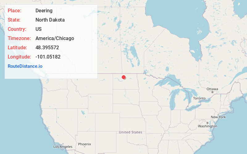
Full AddressDeering, ND 58731
-
Coordinates48.3955721, -101.0518201
-
LocationDeering , North Dakota , US
-
TimezoneAmerica/Chicago
-
Current Local Time1:06:00 PM America/ChicagoWednesday, June 18, 2025
-
Page Views0
About Deering
Deering is a City in McHenry County, North Dakota, United States. In addition to homes, there are a church, a bar, a combined country store and restaurant, an auto body shop, an agricultural supplies outfit, and a set of free-standing gas pumps. The population was 94 at the 2020 census.
Nearby Places
Found 10 places within 50 miles

Glenburn
11.2 mi
18.0 km
Glenburn, ND 58740
Get directions

Ruthville
11.4 mi
18.3 km
Ruthville, ND 58703
Get directions

Surrey
11.6 mi
18.7 km
Surrey, ND
Get directions

Minot Air Force Base
12.7 mi
20.4 km
Minot Air Force Base, ND
Get directions

Granville
13.0 mi
20.9 km
Granville, ND 58741
Get directions

Minot
15.8 mi
25.4 km
Minot, ND
Get directions
Logan
17.7 mi
28.5 km
Logan, ND 58701
Get directions

Burlington
19.2 mi
30.9 km
Burlington, ND
Get directions
Upham
19.6 mi
31.5 km
Upham, ND 58789
Get directions
Sawyer
21.2 mi
34.1 km
Sawyer, ND 58781
Get directions
Location Links
Local Weather
Weather Information
Coming soon!
Location Map
Static map view of Deering, North Dakota
Browse Places by Distance
Places within specific distances from Deering
Short Distances
Long Distances
Click any distance to see all places within that range from Deering. Distances shown in miles (1 mile ≈ 1.61 kilometers).