Distance to Cardwell, Montana

Calculating Your Route
Just a moment while we process your request...
Location Information
-
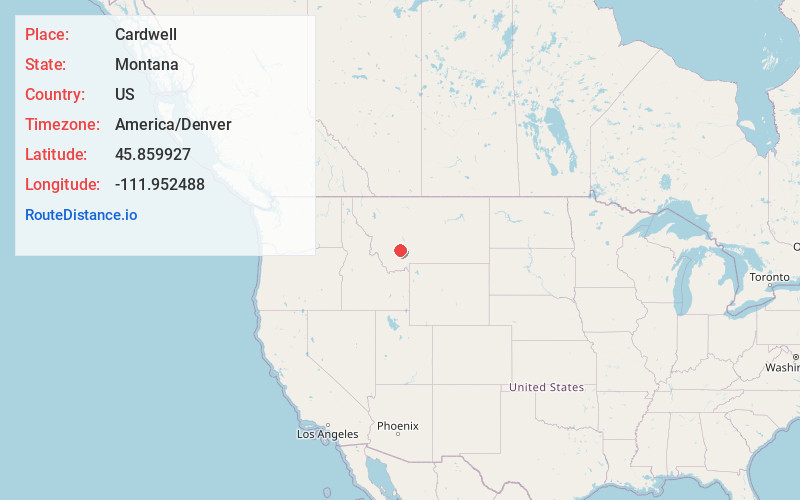
Full AddressCardwell, MT
-
Coordinates45.8599267, -111.9524875
-
LocationCardwell , Montana , US
-
TimezoneAmerica/Denver
-
Current Local Time3:08:08 PM America/DenverSunday, June 29, 2025
-
Page Views0
About Cardwell
Cardwell is a census-designated place in Jefferson County, Montana, United States. The population was 62 at the 2020 census. It is part of the Helena Micropolitan Statistical Area.
The town was named for area rancher and state senator Edward Cardwell.


Nearby Places
Found 10 places within 50 miles

Whitehall
7.1 mi
11.4 km
Whitehall, MT 59759
Get directions

Pony
14.2 mi
22.9 km
Pony, MT
Get directions

Willow Creek
15.0 mi
24.1 km
Willow Creek, MT
Get directions
Rader Creek
18.1 mi
29.1 km
Rader Creek, MT 59759
Get directions
Wheatland
18.7 mi
30.1 km
Wheatland, MT 59752
Get directions

Three Forks
19.4 mi
31.2 km
Three Forks, MT 59752
Get directions

Silver Star
19.7 mi
31.7 km
Silver Star, MT
Get directions
Norris
23.7 mi
38.1 km
Norris, MT 59745
Get directions

Boulder
27.3 mi
43.9 km
Boulder, MT 59632
Get directions
Radersburg
27.8 mi
44.7 km
Radersburg, MT 59643
Get directions
Location Links
Local Weather
Weather Information
Coming soon!
Location Map
Static map view of Cardwell, Montana
Browse Places by Distance
Places within specific distances from Cardwell
Short Distances
Long Distances
Click any distance to see all places within that range from Cardwell. Distances shown in miles (1 mile ≈ 1.61 kilometers).