Distance to Carlsville, Wisconsin

Calculating Your Route
Just a moment while we process your request...
Location Information
-
Full AddressCarlsville, WI 54209
-
Coordinates44.9516611, -87.3367689
-
LocationCarlsville , Wisconsin , US
-
TimezoneAmerica/Chicago
-
Current Local Time7:22:45 AM America/ChicagoSaturday, June 28, 2025
-
Page Views0
About Carlsville
Carlsville is an unincorporated community in Door County, within the town of Egg Harbor, Wisconsin, United States. It is on Wisconsin Highway 42 between Sturgeon Bay and Egg Harbor.


Nearby Places
Found 10 places within 50 miles

Egg Harbor
7.3 mi
11.7 km
Egg Harbor, WI
Get directions

Sturgeon Bay
8.4 mi
13.5 km
Sturgeon Bay, WI 54235
Get directions

Baileys Harbor
13.0 mi
20.9 km
Baileys Harbor, WI 54202
Get directions

Little Sturgeon Bay
13.0 mi
20.9 km
Little Sturgeon Bay, Gardner, WI
Get directions

Ephraim
16.3 mi
26.2 km
Ephraim, WI
Get directions

Menominee
17.3 mi
27.8 km
Menominee, MI 49858
Get directions

Marinette
17.6 mi
28.3 km
Marinette, WI 54143
Get directions

Kolberg
19.1 mi
30.7 km
Kolberg, Brussels, WI 54213
Get directions
Forestville
19.4 mi
31.2 km
Forestville, WI 54213
Get directions

Sister Bay
19.4 mi
31.2 km
Sister Bay, WI
Get directions
Location Links
Local Weather
Weather Information
Coming soon!
Location Map
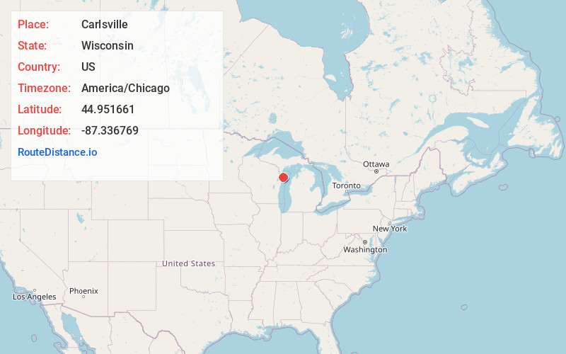
Static map view of Carlsville, Wisconsin
Browse Places by Distance
Places within specific distances from Carlsville
Short Distances
Long Distances
Click any distance to see all places within that range from Carlsville. Distances shown in miles (1 mile ≈ 1.61 kilometers).