Distance to Carrothers, Ohio

Calculating Your Route
Just a moment while we process your request...
Location Information
-
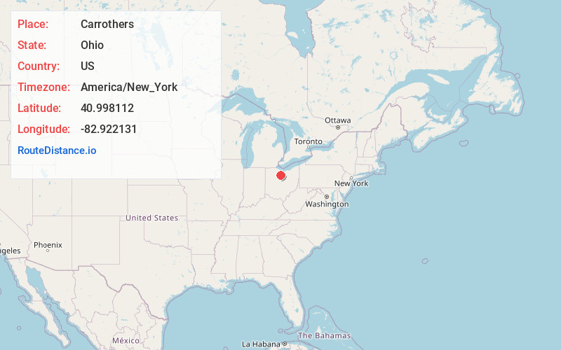
Full AddressCarrothers, OH 44807
-
Coordinates40.9981117, -82.9221308
-
LocationCarrothers , Ohio , US
-
TimezoneAmerica/New_York
-
Current Local Time6:27:34 PM America/New_YorkFriday, May 30, 2025
-
Page Views0
About Carrothers
Carrothers is an unincorporated community in Venice Township, Seneca County, Ohio, United States. It is located along State Route 4, just north of the border between Seneca and Crawford County. The community is served by the Attica post office.
Nearby Places
Found 10 places within 50 miles

St Stephens
2.5 mi
4.0 km
St Stephens, Venice Township, OH 44807
Get directions
Chatfield
3.5 mi
5.6 km
Chatfield, OH
Get directions
New Washington
4.3 mi
6.9 km
New Washington, OH 44854
Get directions

Attica
4.9 mi
7.9 km
Attica, OH 44807
Get directions
Lykens
5.4 mi
8.7 km
Lykens, OH 44818
Get directions
Bloomville
6.1 mi
9.8 km
Bloomville, OH 44818
Get directions
Ridgeton
6.9 mi
11.1 km
Ridgeton, Liberty Township, OH 44820
Get directions
North Auburn
7.1 mi
11.4 km
North Auburn, Auburn Township, OH 44887
Get directions
Scipio
7.2 mi
11.6 km
Scipio, OH 44807
Get directions
Broken Sword
8.0 mi
12.9 km
Broken Sword, OH 44820
Get directions
Location Links
Local Weather
Weather Information
Coming soon!
Location Map
Static map view of Carrothers, Ohio
Browse Places by Distance
Places within specific distances from Carrothers
Short Distances
Long Distances
Click any distance to see all places within that range from Carrothers. Distances shown in miles (1 mile ≈ 1.61 kilometers).