Distance to Carter Cedars, Wyoming

Calculating Your Route
Just a moment while we process your request...
Location Information
-
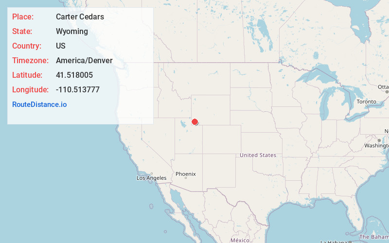
Full AddressCarter Cedars, WY
-
Coordinates41.5180049, -110.5137767
-
LocationWyoming , US
-
TimezoneAmerica/Denver
-
Current Local Time5:02:19 AM America/DenverWednesday, June 18, 2025
-
Page Views0
Nearby Places
Found 10 places within 50 miles

Carter
7.1 mi
11.4 km
Carter, WY 82937
Get directions

Elkhurst
8.6 mi
13.8 km
Elkhurst, WY
Get directions

Fort Bridger
15.4 mi
24.8 km
Fort Bridger, WY 82933
Get directions
Oakley
16.2 mi
26.1 km
Oakley, WY 83101
Get directions

Urie
16.7 mi
26.9 km
Urie, WY 82937
Get directions

Lyman
17.4 mi
28.0 km
Lyman, WY 82937
Get directions
Diamondville
18.1 mi
29.1 km
Diamondville, WY
Get directions

Kemmerer
19.0 mi
30.6 km
Kemmerer, WY 83101
Get directions

Mountain View
19.4 mi
31.2 km
Mountain View, WY 82933
Get directions

Opal
19.9 mi
32.0 km
Opal, WY 83124
Get directions
Location Links
Local Weather
Weather Information
Coming soon!
Location Map
Static map view of Carter Cedars, Wyoming
Browse Places by Distance
Places within specific distances from Carter Cedars
Short Distances
Long Distances
Click any distance to see all places within that range from Carter Cedars. Distances shown in miles (1 mile ≈ 1.61 kilometers).