Distance to Carter, Wyoming

Calculating Your Route
Just a moment while we process your request...
Location Information
-
Full AddressCarter, WY 82937
-
Coordinates41.4377278, -110.4284946
-
LocationCarter , Wyoming , US
-
TimezoneAmerica/Denver
-
Current Local Time11:40:16 AM America/DenverMonday, June 30, 2025
-
Page Views0
About Carter
Carter is a census-designated place in Uinta County, Wyoming, United States. Established by the United States Census Bureau in 1980, the CDP was named after the former village of Carter, in turn named for Judge William A. Carter, which was located within the CDP and of which some abandoned buildings remain standing.


Nearby Places
Found 10 places within 50 miles

Fort Bridger
8.7 mi
14.0 km
Fort Bridger, WY 82933
Get directions

Urie
9.7 mi
15.6 km
Urie, WY 82937
Get directions

Lyman
10.4 mi
16.7 km
Lyman, WY 82937
Get directions

Mountain View
12.5 mi
20.1 km
Mountain View, WY 82933
Get directions

Robertson
17.5 mi
28.2 km
Robertson, WY 82944
Get directions

Oakley
22.3 mi
35.9 km
Oakley, WY 83101
Get directions

Opal
23.5 mi
37.8 km
Opal, WY 83124
Get directions
Diamondville
24.3 mi
39.1 km
Diamondville, WY
Get directions

Kemmerer
25.2 mi
40.6 km
Kemmerer, WY 83101
Get directions

Granger
26.1 mi
42.0 km
Granger, WY 82934
Get directions
Location Links
Local Weather
Weather Information
Coming soon!
Location Map
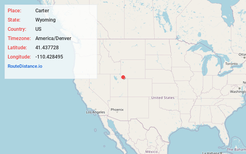
Static map view of Carter, Wyoming
Browse Places by Distance
Places within specific distances from Carter
Short Distances
Long Distances
Click any distance to see all places within that range from Carter. Distances shown in miles (1 mile ≈ 1.61 kilometers).