Distance to Carthagena, Ohio

Calculating Your Route
Just a moment while we process your request...
Location Information
-
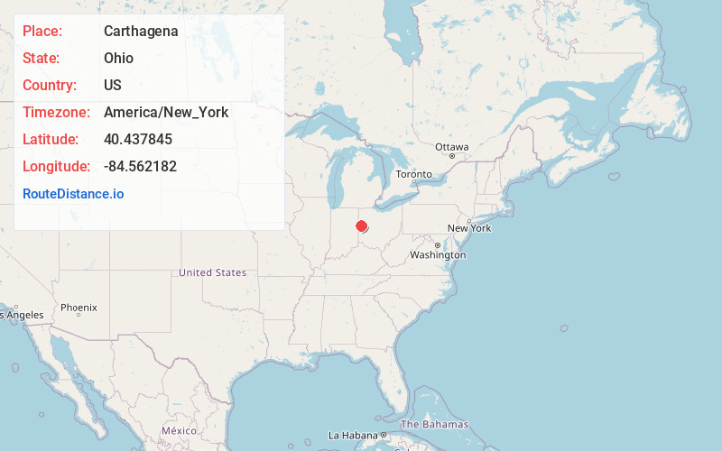
Full AddressCarthagena, OH 45822
-
Coordinates40.4378453, -84.5621823
-
LocationCarthagena , Ohio , US
-
TimezoneAmerica/New_York
-
Current Local Time9:30:32 AM America/New_YorkMonday, June 2, 2025
-
Page Views0
About Carthagena
Carthagena is an unincorporated community in Mercer County, Ohio, United States. Established by African Americans, it was home to an agricultural and industrial boarding school for African American and Indian orphans. It located at 40°26′12″N 84°33′36″W and has an elevation of 909 feet.
Nearby Places
Found 10 places within 50 miles

Montezuma
3.6 mi
5.8 km
Montezuma, OH
Get directions

Chickasaw
3.6 mi
5.8 km
Chickasaw, OH
Get directions

St Henry
4.3 mi
6.9 km
St Henry, OH 45883
Get directions

Coldwater
4.5 mi
7.2 km
Coldwater, OH 45828
Get directions

Maria Stein
4.6 mi
7.4 km
Maria Stein, OH
Get directions
Burkettsville
7.3 mi
11.7 km
Burkettsville, OH
Get directions
Osgood
7.6 mi
12.2 km
Osgood, OH
Get directions

Celina
7.7 mi
12.4 km
Celina, OH 45822
Get directions
North Star
7.8 mi
12.6 km
North Star, OH
Get directions
New Weston
8.2 mi
13.2 km
New Weston, OH 45348
Get directions
Location Links
Local Weather
Weather Information
Coming soon!
Location Map
Static map view of Carthagena, Ohio
Browse Places by Distance
Places within specific distances from Carthagena
Short Distances
Long Distances
Click any distance to see all places within that range from Carthagena. Distances shown in miles (1 mile ≈ 1.61 kilometers).