Distance to Montezuma, Ohio

Calculating Your Route
Just a moment while we process your request...
Location Information
-
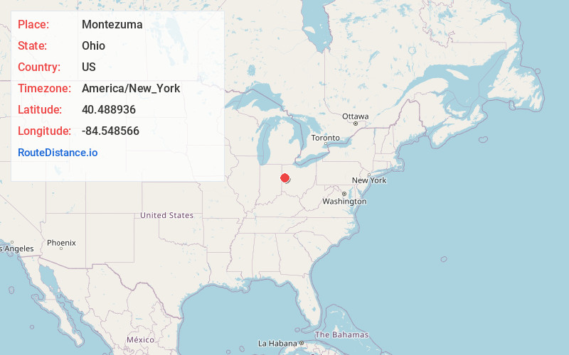
Full AddressMontezuma, OH
-
Coordinates40.4889356, -84.5485662
-
LocationMontezuma , Ohio , US
-
TimezoneAmerica/New_York
-
Current Local Time5:59:14 AM America/New_YorkSunday, June 1, 2025
-
Page Views0
About Montezuma
Montezuma is a village in Mercer County, Ohio, United States. The population was 152 at the 2020 census.
Nearby Places
Found 10 places within 50 miles

Coldwater
4.2 mi
6.8 km
Coldwater, OH 45828
Get directions

Celina
4.3 mi
6.9 km
Celina, OH 45822
Get directions

Chickasaw
4.6 mi
7.4 km
Chickasaw, OH
Get directions

Maria Stein
6.6 mi
10.6 km
Maria Stein, OH
Get directions

St Henry
6.9 mi
11.1 km
St Henry, OH 45883
Get directions

St Marys
9.1 mi
14.6 km
St Marys, OH 45885
Get directions

New Bremen
9.6 mi
15.4 km
New Bremen, OH
Get directions

Burkettsville
10.7 mi
17.2 km
Burkettsville, OH
Get directions
Osgood
10.7 mi
17.2 km
Osgood, OH
Get directions

Minster
11.2 mi
18.0 km
Minster, OH 45865
Get directions
Location Links
Local Weather
Weather Information
Coming soon!
Location Map
Static map view of Montezuma, Ohio
Browse Places by Distance
Places within specific distances from Montezuma
Short Distances
Long Distances
Click any distance to see all places within that range from Montezuma. Distances shown in miles (1 mile ≈ 1.61 kilometers).