Distance to Caruth, Missouri

Calculating Your Route
Just a moment while we process your request...
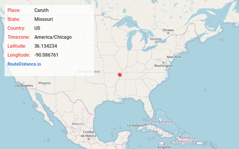
Location Information
-
Full AddressCaruth, MO 63857
-
Coordinates36.1342341, -90.0867605
-
LocationCaruth , Missouri , US
-
TimezoneAmerica/Chicago
-
Current Local Time9:27:10 PM America/ChicagoSaturday, June 21, 2025
-
Page Views0
About Caruth
Caruth is an unincorporated community in Dunklin County, in the U.S. state of Missouri.
The community is on Missouri Route Y approximately 6.5 miles south of Kennett and 3.5 miles east of Senath on Missouri Route P. The community of Cotton Plant is three miles south on Route Y.
Nearby Places
Found 10 places within 50 miles

Vincit
2.4 mi
3.9 km
Vincit, Independence Township, MO 63857
Get directions

Senath
4.1 mi
6.6 km
Senath, MO 63876
Get directions
Rives
5.0 mi
8.0 km
Rives, MO
Get directions
Deer Land
5.0 mi
8.0 km
Deer Land, Independence Township, MO 63857
Get directions
Europa
5.9 mi
9.5 km
Europa, MO 63876
Get directions
Hornersville
6.6 mi
10.6 km
Hornersville, MO 63855
Get directions

Kennett
7.3 mi
11.7 km
Kennett, MO 63857
Get directions
Bucoda
7.7 mi
12.4 km
Bucoda, Salem Township, MO 63821
Get directions
West Kennett
8.9 mi
14.3 km
West Kennett, AR 72461
Get directions

Arbyrd
10.3 mi
16.6 km
Arbyrd, MO 63821
Get directions
Location Links
Local Weather
Weather Information
Coming soon!
Location Map
Static map view of Caruth, Missouri
Browse Places by Distance
Places within specific distances from Caruth
Short Distances
Long Distances
Click any distance to see all places within that range from Caruth. Distances shown in miles (1 mile ≈ 1.61 kilometers).