Distance to Cary, Georgia

Calculating Your Route
Just a moment while we process your request...
Location Information
-
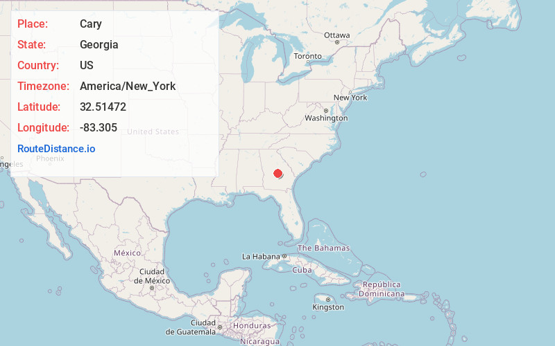
Full AddressCary, GA 31014
-
Coordinates32.5147199, -83.305
-
LocationCary , Georgia , US
-
TimezoneAmerica/New_York
-
Current Local Time6:59:32 AM America/New_YorkSunday, May 25, 2025
-
Page Views0
About Cary
Cary is an unincorporated community located in Bleckley County, Georgia, United States, at the intersection of Georgia Highway 112 and three local county roads.
Nearby Places
Found 10 places within 50 miles

Royal
6.4 mi
10.3 km
Royal, GA 31014
Get directions
Allentown
7.1 mi
11.4 km
Allentown, GA
Get directions

Danville
7.2 mi
11.6 km
Danville, GA 31017
Get directions
Tarversville
8.1 mi
13.0 km
Tarversville, GA 31044
Get directions
Rebie
8.4 mi
13.5 km
Rebie, GA 31012
Get directions
Porter
8.9 mi
14.3 km
Porter, GA 31014
Get directions

Cochran
9.3 mi
15.0 km
Cochran, GA 31014
Get directions

Montrose
9.4 mi
15.1 km
Montrose, GA 31065
Get directions
Rowland
9.6 mi
15.4 km
Rowland, GA 31012
Get directions
Paulk
10.6 mi
17.1 km
Paulk, GA 31014
Get directions
Location Links
Local Weather
Weather Information
Coming soon!
Location Map
Static map view of Cary, Georgia
Browse Places by Distance
Places within specific distances from Cary
Short Distances
Long Distances
Click any distance to see all places within that range from Cary. Distances shown in miles (1 mile ≈ 1.61 kilometers).