Distance to Royal, Georgia

Calculating Your Route
Just a moment while we process your request...
Location Information
-
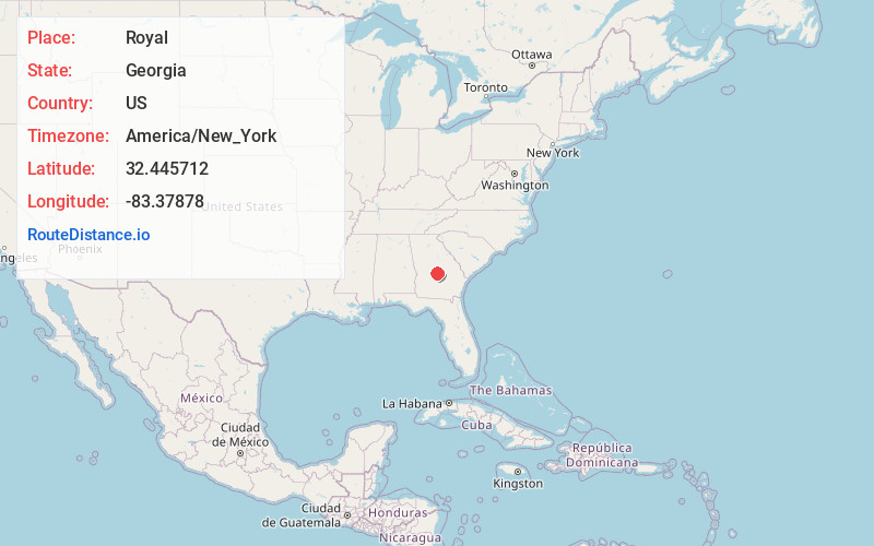
Full AddressRoyal, GA 31014
-
Coordinates32.4457124, -83.3787801
-
LocationGeorgia , US
-
TimezoneAmerica/New_York
-
Current Local Time11:33:40 PM America/New_YorkThursday, June 19, 2025
-
Page Views0
Nearby Places
Found 10 places within 50 miles

Porter
2.6 mi
4.2 km
Porter, GA 31014
Get directions

Cochran
4.3 mi
6.9 km
Cochran, GA 31014
Get directions
Empire
8.7 mi
14.0 km
Empire, GA 31014
Get directions
Rebie
11.9 mi
19.2 km
Rebie, GA 31012
Get directions
Rowland
12.3 mi
19.8 km
Rowland, GA 31012
Get directions

Hawkinsville
12.4 mi
20.0 km
Hawkinsville, GA 31036
Get directions

Danville
13.5 mi
21.7 km
Danville, GA 31017
Get directions
Allentown
13.5 mi
21.7 km
Allentown, GA
Get directions
Chester
13.7 mi
22.0 km
Chester, GA 31012
Get directions

Montrose
15.3 mi
24.6 km
Montrose, GA 31065
Get directions
Location Links
Local Weather
Weather Information
Coming soon!
Location Map
Static map view of Royal, Georgia
Browse Places by Distance
Places within specific distances from Royal
Short Distances
Long Distances
Click any distance to see all places within that range from Royal. Distances shown in miles (1 mile ≈ 1.61 kilometers).