Distance to Cascabel, Arizona

Calculating Your Route
Just a moment while we process your request...
Location Information
-
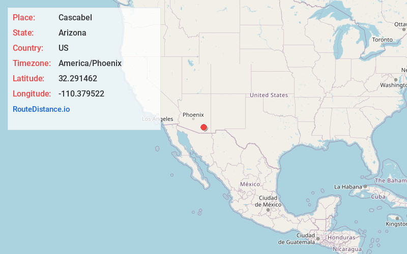
Full AddressCascabel, AZ 85602
-
Coordinates32.2914623, -110.3795221
-
LocationCascabel , Arizona , US
-
TimezoneAmerica/Phoenix
-
Current Local Time10:54:45 PM America/PhoenixFriday, June 20, 2025
-
Page Views0
About Cascabel
Cascabel is a rural community in Cochise County, Arizona, United States.
It is located at 32.291N / 110.378W, on the banks of the San Pedro River, east of Tucson and about 37 km north-northwest of Benson.
The name Cascabel derives from Spanish for "rattle", because an early settler killed a large rattlesnake here.


Nearby Places
Found 10 places within 50 miles

Willow Canyon
19.9 mi
32.0 km
Willow Canyon, AZ 85619
Get directions

Pomerene
20.9 mi
33.6 km
Pomerene, AZ 85602
Get directions

Tanque Verde
21.1 mi
34.0 km
Tanque Verde, AZ
Get directions

Mescal
22.3 mi
35.9 km
Mescal, AZ 85602
Get directions

Johnson
22.4 mi
36.0 km
Johnson, AZ 85609
Get directions
Rincon Valley
22.7 mi
36.5 km
Rincon Valley, AZ
Get directions

Benson
22.9 mi
36.9 km
Benson, AZ
Get directions
Fenner
23.8 mi
38.3 km
Fenner, AZ 85602
Get directions
Loma Linda
24.4 mi
39.3 km
Loma Linda, Summerhaven, AZ 85619
Get directions

San Manuel
25.9 mi
41.7 km
San Manuel, AZ
Get directions
Location Links
Local Weather
Weather Information
Coming soon!
Location Map
Static map view of Cascabel, Arizona
Browse Places by Distance
Places within specific distances from Cascabel
Short Distances
Long Distances
Click any distance to see all places within that range from Cascabel. Distances shown in miles (1 mile ≈ 1.61 kilometers).