Distance to Castle Butte, Arizona

Calculating Your Route
Just a moment while we process your request...
Location Information
-
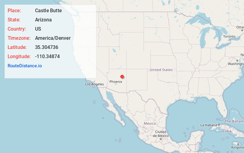
Full AddressCastle Butte, AZ 86047
-
Coordinates35.3047362, -110.3487401
-
LocationArizona , US
-
TimezoneAmerica/Denver
-
Current Local Time4:38:59 PM America/DenverFriday, June 20, 2025
-
Page Views0
Nearby Places
Found 10 places within 50 miles

Dilkon
5.8 mi
9.3 km
Dilkon, AZ 86047
Get directions

Seba Dalkai
14.6 mi
23.5 km
Seba Dalkai, AZ 86047
Get directions

Indian Wells
15.5 mi
24.9 km
Indian Wells, AZ 86031
Get directions

Na Ah Tee
17.0 mi
27.4 km
Na Ah Tee, AZ 86031
Get directions

Joseph City
24.1 mi
38.8 km
Joseph City, AZ 86032
Get directions

Whitecone
26.1 mi
42.0 km
Whitecone, AZ
Get directions
Bushman Acres
26.9 mi
43.3 km
Bushman Acres, Winslow, AZ 86047
Get directions

Winslow
27.6 mi
44.4 km
Winslow, AZ 86047
Get directions

Sun Valley
29.4 mi
47.3 km
Sun Valley, AZ
Get directions

Winslow West
29.6 mi
47.6 km
Winslow West, AZ 86047
Get directions
Location Links
Local Weather
Weather Information
Coming soon!
Location Map
Static map view of Castle Butte, Arizona
Browse Places by Distance
Places within specific distances from Castle Butte
Short Distances
Long Distances
Click any distance to see all places within that range from Castle Butte. Distances shown in miles (1 mile ≈ 1.61 kilometers).