Distance to Joseph City, Arizona

Calculating Your Route
Just a moment while we process your request...
Location Information
-
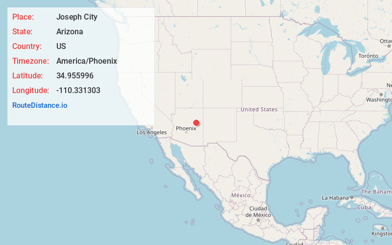
Full AddressJoseph City, AZ 86032
-
Coordinates34.955996, -110.3313027
-
LocationJoseph City , Arizona , US
-
TimezoneAmerica/Phoenix
-
Current Local Time7:42:03 PM America/PhoenixFriday, May 30, 2025
-
Page Views0
About Joseph City
Joseph City is a Census Designated Place located in Navajo County, Arizona, United States. It is located on Interstate 40, approximately eighty miles east of Flagstaff and about thirty-five miles west of Petrified Forest National Park. In 2010, there were 1,386 inhabitants.


Nearby Places
Found 6 places within 50 miles

Holbrook
10.5 mi
16.9 km
Holbrook, AZ 86025
Get directions

Winslow
21.3 mi
34.3 km
Winslow, AZ 86047
Get directions

Snowflake
33.8 mi
54.4 km
Snowflake, AZ 85937
Get directions

Taylor
36.6 mi
58.9 km
Taylor, AZ
Get directions

Heber-Overgaard
39.7 mi
63.9 km
Heber-Overgaard, AZ
Get directions

Linden
47.4 mi
76.3 km
Linden, AZ 85901
Get directions
Location Links
Local Weather
Weather Information
Coming soon!
Location Map
Static map view of Joseph City, Arizona
Browse Places by Distance
Places within specific distances from Joseph City
Short Distances
Long Distances
Click any distance to see all places within that range from Joseph City. Distances shown in miles (1 mile ≈ 1.61 kilometers).