Distance to Whitecone, Arizona

Calculating Your Route
Just a moment while we process your request...
Location Information
-
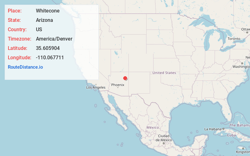
Full AddressWhitecone, AZ
-
Coordinates35.605904, -110.067711
-
LocationWhitecone , Arizona , US
-
TimezoneAmerica/Denver
-
Current Local Time10:09:29 PM America/DenverFriday, June 20, 2025
-
Page Views0
About Whitecone
Whitecone is a census-designated place in Navajo County, in the U.S. state of Arizona. The population was 817 at the 2010 census.


Nearby Places
Found 8 places within 50 miles

Dilkon
20.9 mi
33.6 km
Dilkon, AZ 86047
Get directions

First Mesa
23.8 mi
38.3 km
First Mesa, AZ 86042
Get directions

Second Mesa
27.8 mi
44.7 km
Second Mesa, AZ 86043
Get directions

Shongopovi
30.0 mi
48.3 km
Shongopovi, AZ 86043
Get directions

Pinon
35.3 mi
56.8 km
Pinon, AZ 86510
Get directions

Joseph City
47.3 mi
76.1 km
Joseph City, AZ 86032
Get directions

Chinle
47.6 mi
76.6 km
Chinle, AZ 86503
Get directions

Holbrook
48.9 mi
78.7 km
Holbrook, AZ 86025
Get directions
Location Links
Local Weather
Weather Information
Coming soon!
Location Map
Static map view of Whitecone, Arizona
Browse Places by Distance
Places within specific distances from Whitecone
Short Distances
Long Distances
Click any distance to see all places within that range from Whitecone. Distances shown in miles (1 mile ≈ 1.61 kilometers).