Distance to Castle Rocks, Idaho

Calculating Your Route
Just a moment while we process your request...
Location Information
-
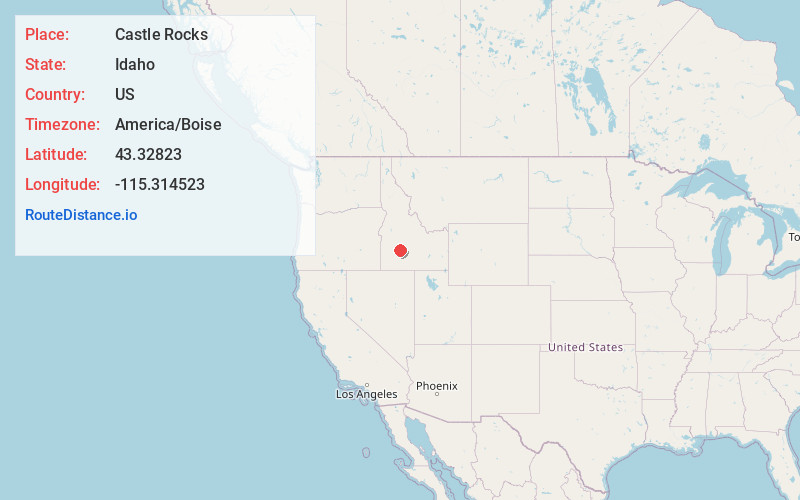
Full AddressCastle Rocks, ID 83647
-
Coordinates43.3282295, -115.3145232
-
LocationCastle Rocks , Idaho , US
-
TimezoneAmerica/Boise
-
Current Local Time7:47:34 AM America/BoiseWednesday, June 18, 2025
-
Page Views0


Nearby Places
Found 10 places within 50 miles

Reclamation Village
8.8 mi
14.2 km
Reclamation Village, ID 83647
Get directions

Pine
10.8 mi
17.4 km
Pine, ID 83647
Get directions

Hill City
13.4 mi
21.6 km
Hill City, ID 83337
Get directions

Paradise Hot Springs
15.7 mi
25.3 km
Paradise Hot Springs, ID 83647
Get directions

Corral
16.0 mi
25.7 km
Corral, ID 83327
Get directions
Steamboat Rock
17.8 mi
28.6 km
Steamboat Rock, ID 83647
Get directions

Prairie
17.8 mi
28.6 km
Prairie, ID 83647
Get directions

Featherville
19.7 mi
31.7 km
Featherville, ID 83647
Get directions

King Hill
23.1 mi
37.2 km
King Hill, ID 83633
Get directions

Mountain Home
23.3 mi
37.5 km
Mountain Home, ID 83647
Get directions
Location Links
Local Weather
Weather Information
Coming soon!
Location Map
Static map view of Castle Rocks, Idaho
Browse Places by Distance
Places within specific distances from Castle Rocks
Short Distances
Long Distances
Click any distance to see all places within that range from Castle Rocks. Distances shown in miles (1 mile ≈ 1.61 kilometers).