Distance to Caulfield, Missouri

Calculating Your Route
Just a moment while we process your request...
Location Information
-
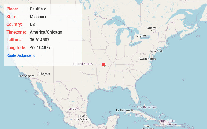
Full AddressCaulfield, MO 65626
-
Coordinates36.6145065, -92.104877
-
LocationCaulfield , Missouri , US
-
TimezoneAmerica/Chicago
-
Current Local Time7:07:16 AM America/ChicagoThursday, July 3, 2025
-
Page Views0
About Caulfield
Caulfield is an unincorporated community in western Howell County, Missouri, United States. It is located on U.S. Highway 160 and Missouri Route 101, approximately 15 miles west of West Plains. The Ozark County line lies just to the west of Caulfield.

Nearby Places
Found 10 places within 50 miles

Arditta
2.3 mi
3.7 km
Arditta, MO 65775
Get directions

Elijah
2.4 mi
3.9 km
Elijah, MO 65626
Get directions
Cureall
4.1 mi
6.6 km
Cureall, Spring Creek Township, MO 65790
Get directions
Hocomo
5.6 mi
9.0 km
Hocomo, Benton Township, MO 65626
Get directions
Amy
5.6 mi
9.0 km
Amy, MO 65626
Get directions

Bakersfield
6.7 mi
10.8 km
Bakersfield, MO 65626
Get directions
South Fork
7.9 mi
12.7 km
South Fork, MO 65775
Get directions
Ott
8.2 mi
13.2 km
Ott, AR 72538
Get directions
Moody
8.7 mi
14.0 km
Moody, MO 65777
Get directions

Udall
9.8 mi
15.8 km
Udall, MO 65766
Get directions
Location Links
Local Weather
Weather Information
Coming soon!
Location Map
Static map view of Caulfield, Missouri
Browse Places by Distance
Places within specific distances from Caulfield
Short Distances
Long Distances
Click any distance to see all places within that range from Caulfield. Distances shown in miles (1 mile ≈ 1.61 kilometers).