Distance to Udall, Missouri

Calculating Your Route
Just a moment while we process your request...
Location Information
-
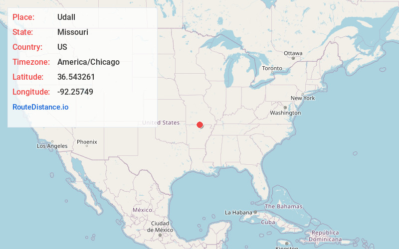
Full AddressUdall, MO 65766
-
Coordinates36.543261, -92.2574904
-
LocationUdall , Missouri , US
-
TimezoneAmerica/Chicago
-
Current Local Time9:29:21 AM America/ChicagoMonday, June 23, 2025
-
Page Views0
About Udall
Udall is an unincorporated community in the Bayou I Township of Ozark County, in southern Missouri, United States, located approximately 12 miles southeast of Gainesville and eight miles west of Bakersfield on Missouri Route O. One and one-half miles west of Udall, the road ends at a park and landing on Norfork Lake.


Nearby Places
Found 10 places within 50 miles

Tecumseh
3.4 mi
5.5 km
Tecumseh, MO 65760
Get directions

Howards Ridge
4.2 mi
6.8 km
Howards Ridge, MO 65655
Get directions

Gamaliel
6.1 mi
9.8 km
Gamaliel, AR 72537
Get directions

Bakersfield
6.6 mi
10.6 km
Bakersfield, MO 65626
Get directions

Clarkridge
6.9 mi
11.1 km
Clarkridge, AR 72623
Get directions

Elijah
7.7 mi
12.4 km
Elijah, MO 65626
Get directions
Mammoth
8.0 mi
12.9 km
Mammoth, Bridges Township, MO 65655
Get directions

Gainesville
10.3 mi
16.6 km
Gainesville, MO 65655
Get directions
Ott
10.4 mi
16.7 km
Ott, AR 72538
Get directions
Henderson
11.4 mi
18.3 km
Henderson, AR
Get directions
Location Links
Local Weather
Weather Information
Coming soon!
Location Map
Static map view of Udall, Missouri
Browse Places by Distance
Places within specific distances from Udall
Short Distances
Long Distances
Click any distance to see all places within that range from Udall. Distances shown in miles (1 mile ≈ 1.61 kilometers).