Distance to Howards Ridge, Missouri

Calculating Your Route
Just a moment while we process your request...
Location Information
-
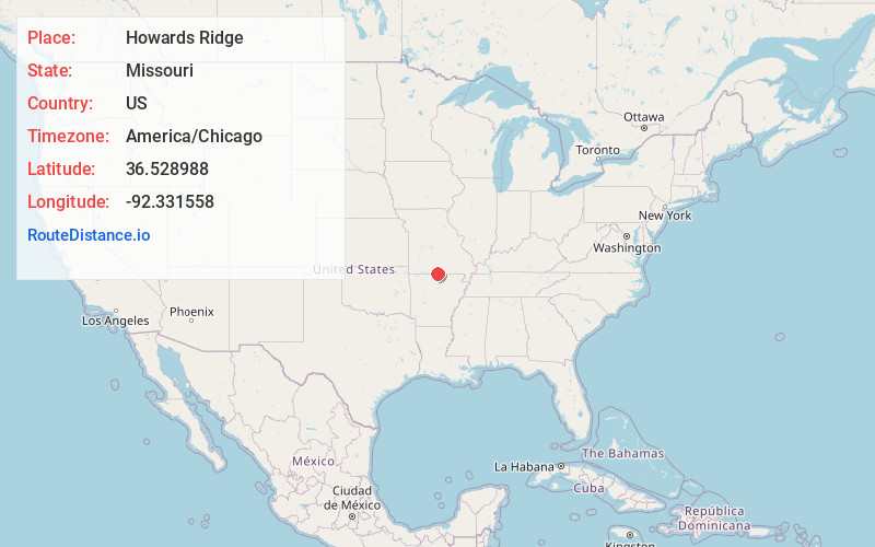
Full AddressHowards Ridge, MO 65655
-
Coordinates36.528988, -92.331558
-
LocationHowards Ridge , Missouri , US
-
TimezoneAmerica/Chicago
-
Current Local Time7:04:58 PM America/ChicagoSaturday, June 21, 2025
-
Page Views0
About Howards Ridge
Howards Ridge is an unincorporated community in southeastern Ozark County in the southern Missouri Ozarks, United States.
Nearby Places
Found 10 places within 50 miles

Clarkridge
3.7 mi
6.0 km
Clarkridge, AR 72623
Get directions

Mammoth
3.9 mi
6.3 km
Mammoth, Bridges Township, MO 65655
Get directions

Tecumseh
4.7 mi
7.6 km
Tecumseh, MO 65760
Get directions

Gamaliel
7.4 mi
11.9 km
Gamaliel, AR 72537
Get directions

Gainesville
7.4 mi
11.9 km
Gainesville, MO 65655
Get directions
Three Brothers
9.2 mi
14.8 km
Three Brothers, AR 72653
Get directions

Bakersfield
10.5 mi
16.9 km
Bakersfield, MO 65626
Get directions

Elijah
11.7 mi
18.8 km
Elijah, MO 65626
Get directions
Henderson
11.8 mi
19.0 km
Henderson, AR
Get directions
Midway
12.3 mi
19.8 km
Midway, AR
Get directions
Location Links
Local Weather
Weather Information
Coming soon!
Location Map
Static map view of Howards Ridge, Missouri
Browse Places by Distance
Places within specific distances from Howards Ridge
Short Distances
Long Distances
Click any distance to see all places within that range from Howards Ridge. Distances shown in miles (1 mile ≈ 1.61 kilometers).